|
| *****SWAAG_ID***** | 972 |
| Date Entered | 12/01/2017 |
| Updated on | 21/01/2017 |
| Recorded by | Tim Laurie |
| Category | Geological Record |
| Record Type | Geological HER |
| SWAAG Site Name | |
| Site Type | |
| Site Name | |
| Site Description | |
| Site Access | Public Access Land |
| Record Date | 06/01/2013 |
| Location | Hunder Beck upstream from the pastures below Blackton YHA l to the confluence with Mawmon Sike |
| Civil Parish | Cotherstone |
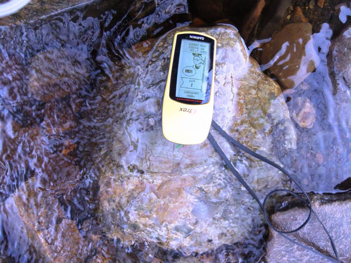
| Brit. National Grid | NY 930 175 |
| Altitude | 310m |
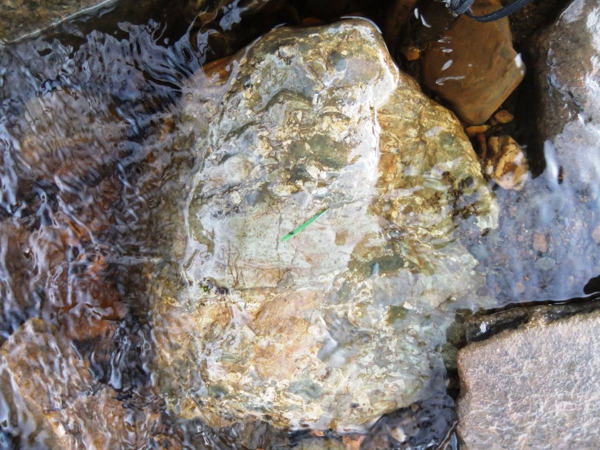
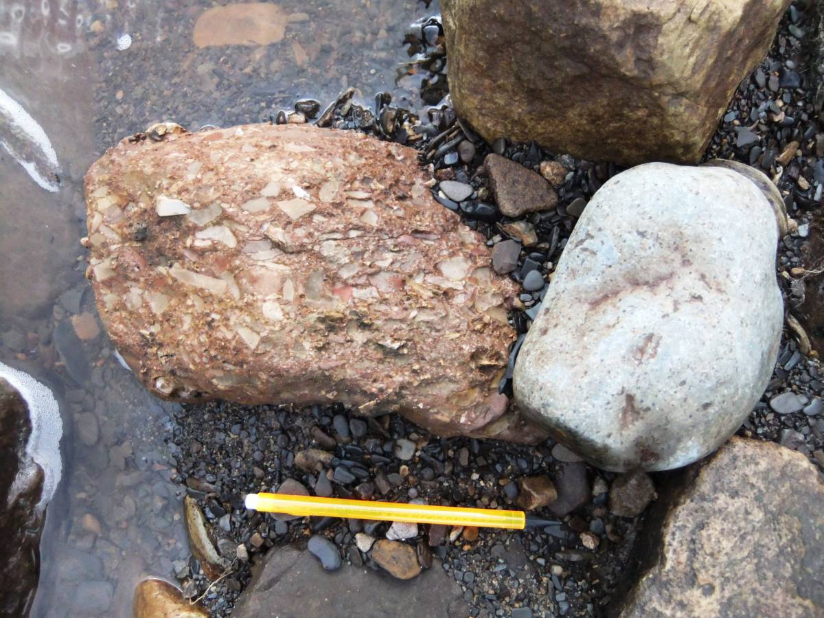
| Geology | Steep-sided stream cut ravine with fine exposures of Namurian strata of the Millstone Grit Series above the Upper Stonesdale Limestone including marine shales, a thin coal seam, the Mirk Fell Ironstone and the Upper Fell Top Limestone- the equivalent of the Knucton Shell Beds. Outcropping sandstone strata form several fine waterfalls. An impressive number of glacial erratic boulders, mostly of Shap Granite but also of volcanic ash and breccias. Several erratic slabs of the Brockram rock are to be seen in the bed of Hunder Beck. These erratics will be the subject of specific detailed recording at a later date. |
| Record Name | Hunder Beck upstream of Blackton Reservoir, Part One from the pastures below Blackton Reservoir upstream to Mawmon Sike- Namurian strata and glacial erratics of local and distant origine. |
| Record Description | See the Geology Section above.
This Record (the first of three Parts) will provide an introductory photographic record of the very interesting geological strata, and waterfalls and a selection of the many glacial erratic boulders within the steep sided and dangerous ravines of Hunder Beck and its tributary streams, Mawmon Sike and Crawlaw Beck. These streams are located on pathless moorland south of the Blackton Reservoir and a short distance west of the Pennine Way. Access to Hunder Beck is via a short walk across moorland from the Parking Place at the end of the public road close to the Blackton YHA.
The geological strata, glacial erratics, the fossil evidence and relict juniper, aspen and rowan woodland within the Hunder Beck, Mawmon Sike and Crawlaw Beck ravines will be the subject of specific detailed separate records to be uploaded following future revisits to confirm the necessary detail at a later date. |
| Dimensions | See photos |
| Geographical area | |
| Species | |
| Scientific Name | |
| Common / Notable Species | |
| Tree and / or Stem Girth | |
| Tree: Position / Form / Status | |
| Tree Site ID | 0 |
| Associated Site SWAAG ID | 0 |
| Additional Notes | These ravines are steep sided, pathless and very dangerous. Access to the bed of the streams and to the waterfalls is difficult and not advised. |
| Image 1 ID | 7132 Click image to enlarge |
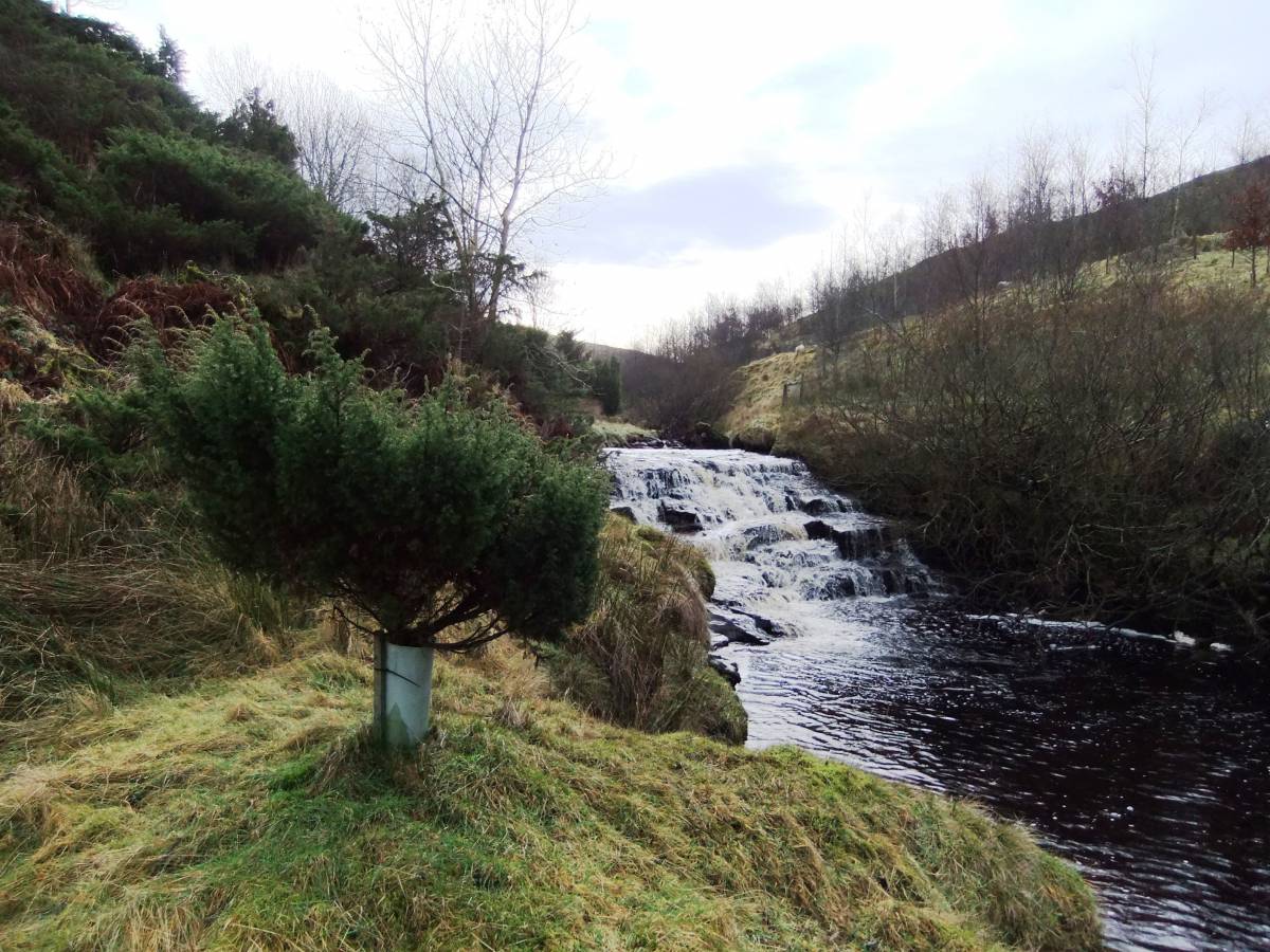
| Image 1 Description | Hunder Beck. The Lower Falls. View upstream from the enclosed pastures east of the Blackton YHA on the line of the Pennine Way. One of the few areas in Teesdale of relict juniper scrub with additional planted junipers. |  |
| Image 2 ID | 7133 Click image to enlarge |
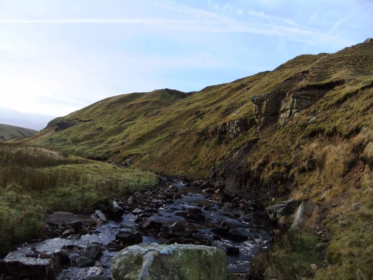
| Image 2 Description | Hunder Beck view higher upstream. |  |
| Image 3 ID | 7134 Click image to enlarge |
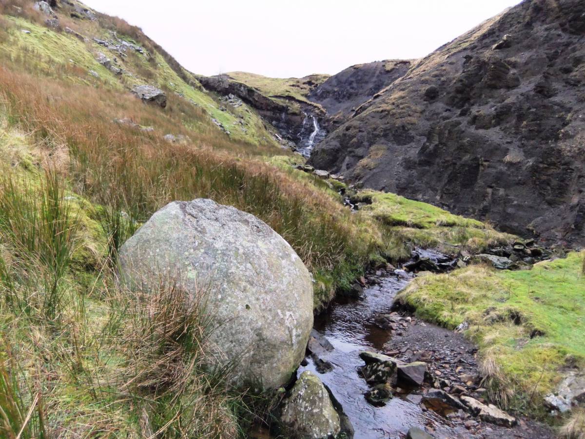
| Image 3 Description | Hunder Beck view higher upstream with Shap Granite boulder. | 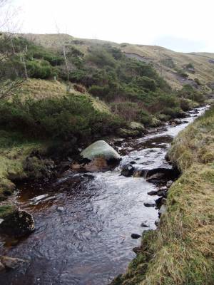 |
| Image 4 ID | 7135 Click image to enlarge |
| Image 4 Description | Hunder Beck, view towards the Falls on Mawmon Sike with boulder of Shap Granite. |  |
| Image 5 ID | 7136 Click image to enlarge |
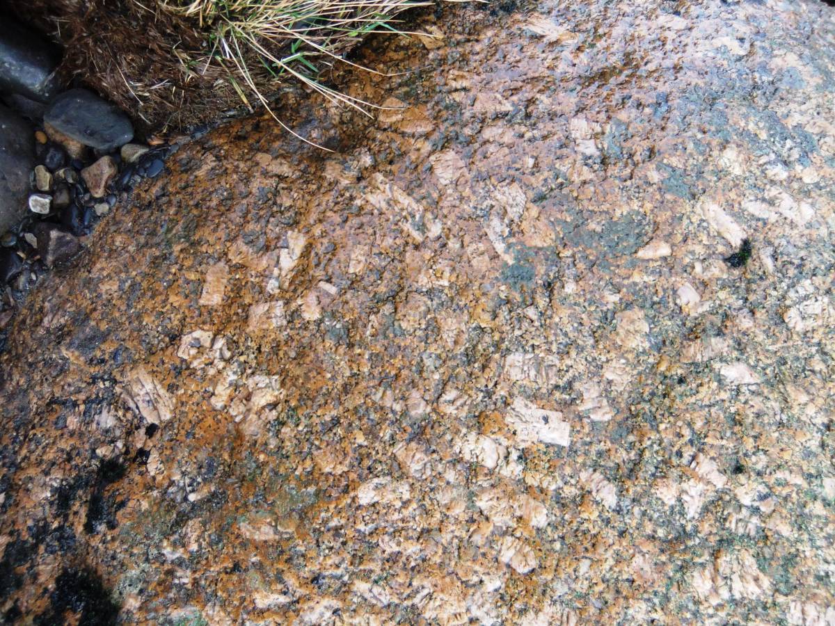
| Image 5 Description | Detail of one of the many Shap Granites in the bed of Hunder Beck. |  |
| Image 6 ID | 7137 Click image to enlarge |
| Image 6 Description | Water polished surface of small slab of volcanic breccia. | 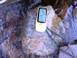 |
| Image 7 ID | 7139 Click image to enlarge |
| Image 7 Description | Detail of the previous slab to show clasts. |  |
| Image 8 ID | 7140 Click image to enlarge |
| Image 8 Description | Small slab of Brockram in the bed of Hunder Beck with cobble of volcanic ash. | 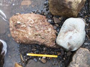 |
| Image 9 ID | 7141 Click image to enlarge |
| Image 9 Description | Detail of last. | 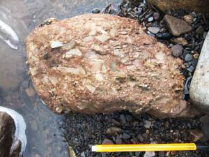 |
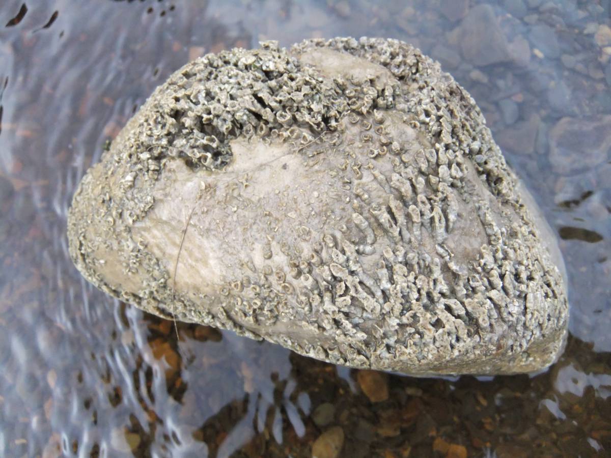
| Image 10 ID | 7142 Click image to enlarge |
| Image 10 Description | Small boulder of Namurian Limestone with fine exposure of the colonial coral provisionally identified as Lithostrotian juncium. | 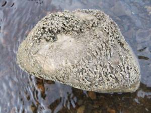 |