|
| *****SWAAG_ID***** | 990 |
| Date Entered | 24/04/2017 |
| Updated on | 25/04/2017 |
| Recorded by | Tim Laurie |
| Category | Photographic Record |
| Record Type | Archaeology |
| SWAAG Site Name | |
| Site Type | |
| Site Name | |
| Site Description | |
| Site Access | Public Footpath |
| Record Date | 23/04/2017 |
| Location | Coverdale. Various locations on the banks of thr River Cover. |
| Civil Parish | Carlton Town |
| Brit. National Grid | |
| Altitude | |
| Geology | |
| Record Name | Images of Coverdale, Part One. |
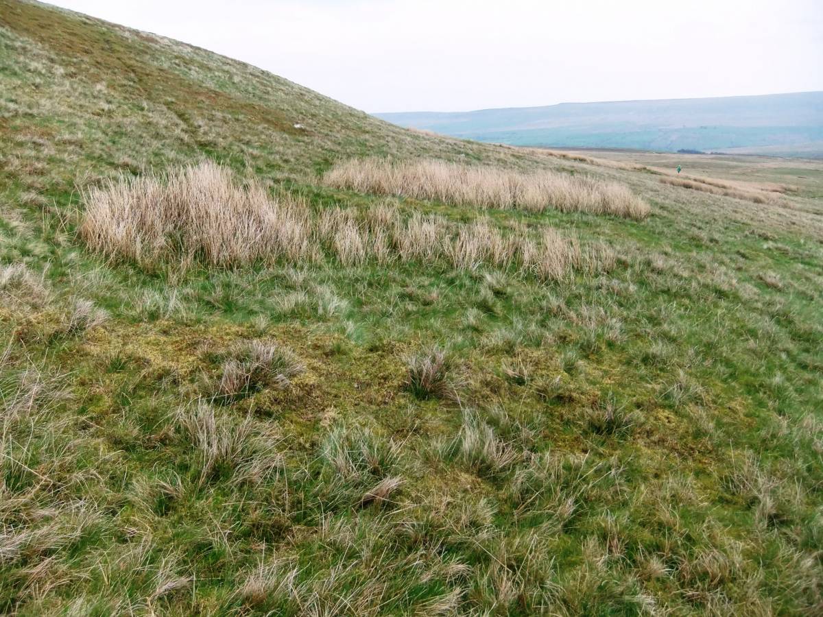
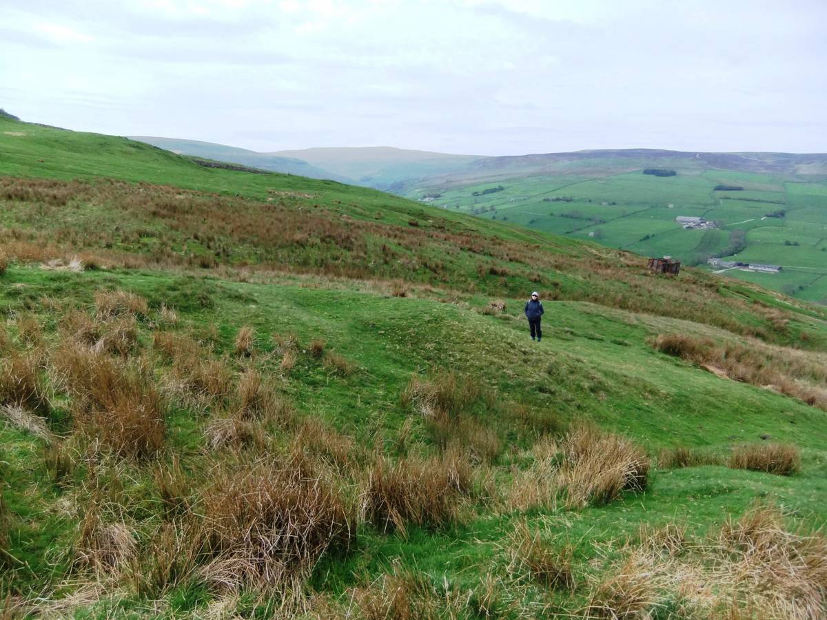
| Record Description | Images of the River Cover taken during a recent walk from Carlton to Gammersgill and return.
Photograph Image Nos 1-14 below were taken during this walk.
Photograph Image Nos 15-30 are selected images taken from those attached to the nine previous SWAAG Database Records of sites and landscapes in Coverdale. |
| Dimensions | See photographs |
| Geographical area | |
| Species | |
| Scientific Name | |
| Common / Notable Species | |
| Tree and / or Stem Girth | |
| Tree: Position / Form / Status | |
| Tree Site ID | 0 |
| Associated Site SWAAG ID | 0 |
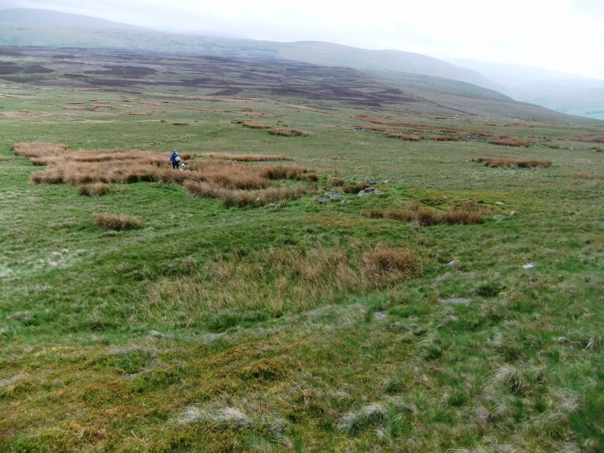
| Additional Notes | This record arises from a recent walk through the pastures of the River Cover from Carlton in Coverdale to West Scrafton and from thence upstream to Hindlethwaite Hall below Horsehouse. We returned through the pastures via Gammersgill. The pastures by the River Cover were very attractive but of limited visible archaeological interest. In contrast, the upper slopes of Gammersgill Moor below Penhill and of Harland Hill have extensive prehistoric settlement remains.
Images numbered 1-13 below were taken during the walk through the Cover pastures. Photograph images 14-30 are selected images of the prehistoric settlements on the high moorland slopes on the northern side of Coverdale, below Penhill and on Harland Hill. These images were selected from those attached to the nine previous SWAAG Database Records which relate to Coverdale. The aim being to place the riverside walk in its landscape context. |
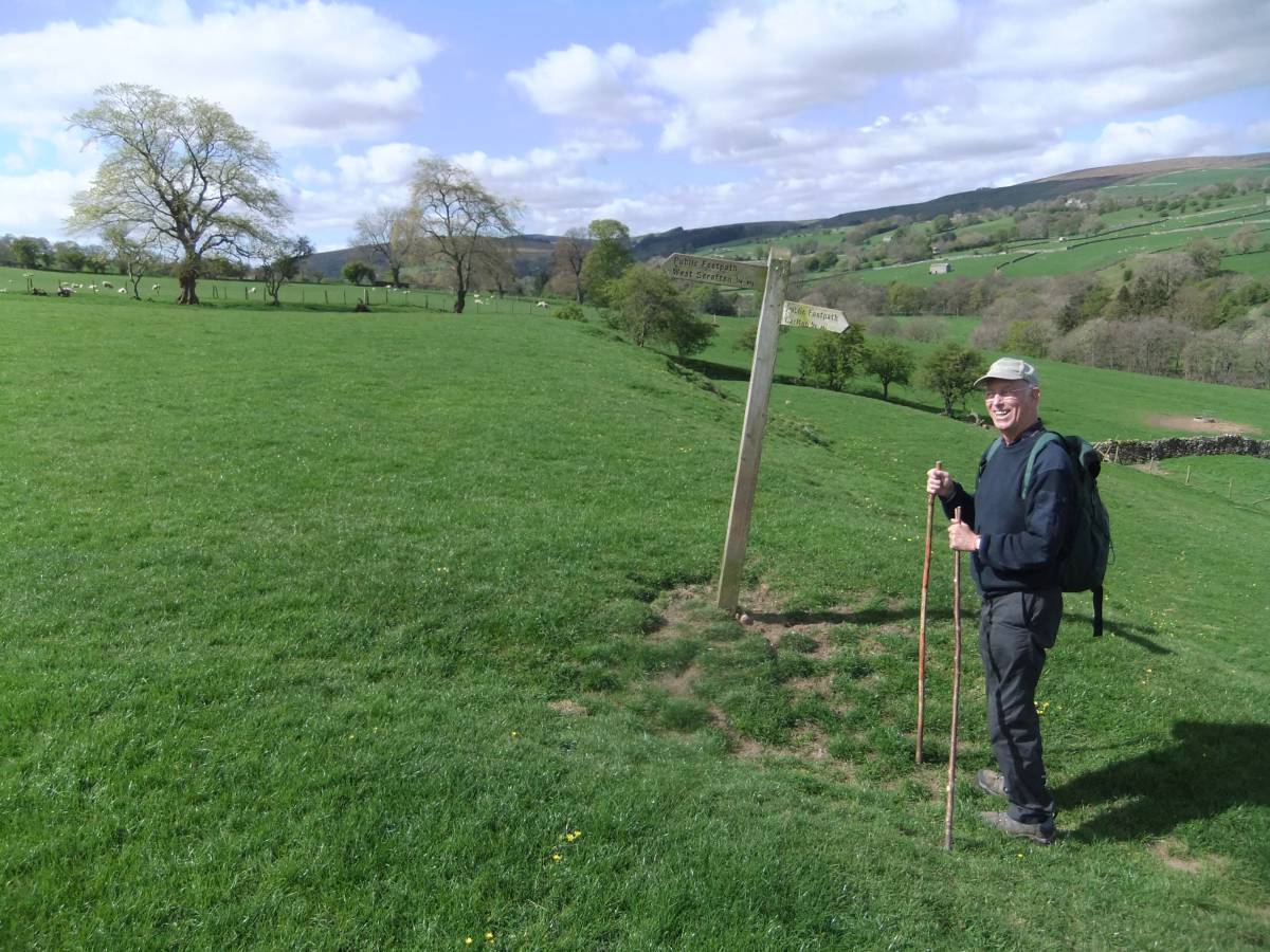
| Image 1 ID | 7275 Click image to enlarge |
| Image 1 Description | John in his fine form as always. |  |
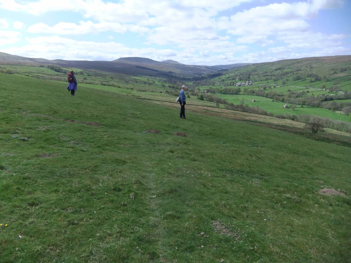
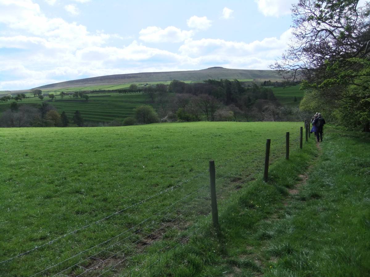
| Image 2 ID | 7276 Click image to enlarge |
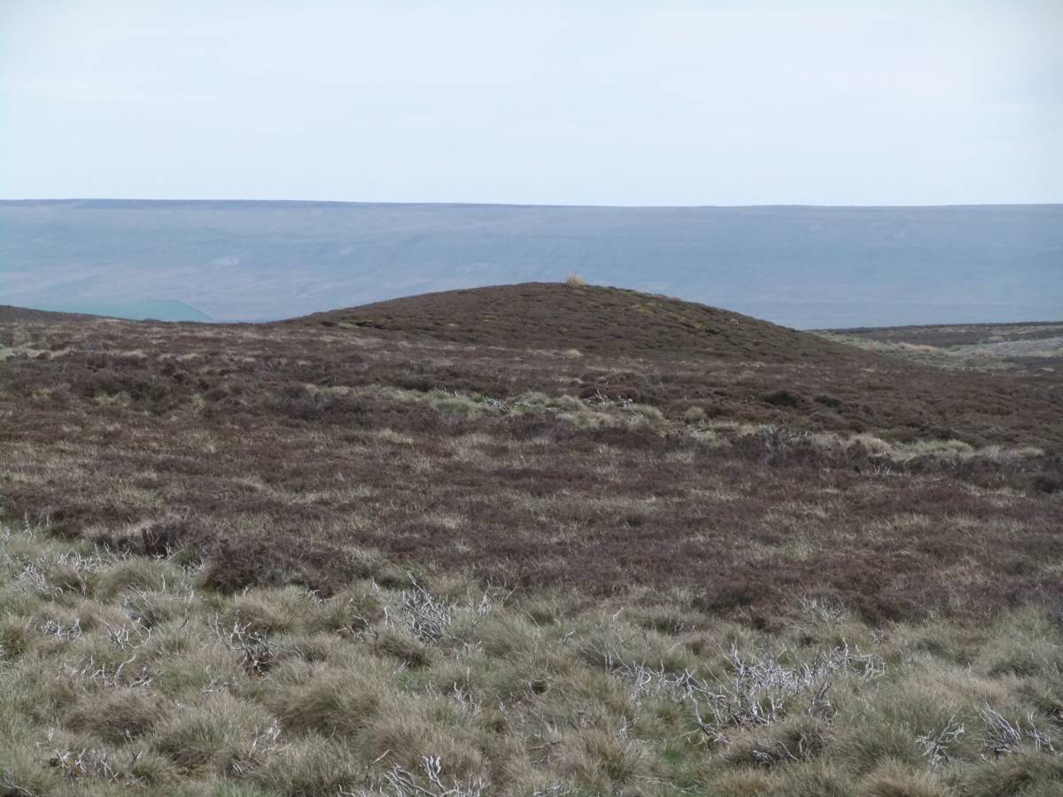
| Image 2 Description | View westward through Coverdale towards Cover head. | 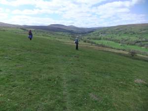 |
| Image 3 ID | 7284 Click image to enlarge |
| Image 3 Description | Beehive Stances at Carlton | 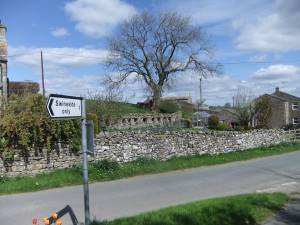 |
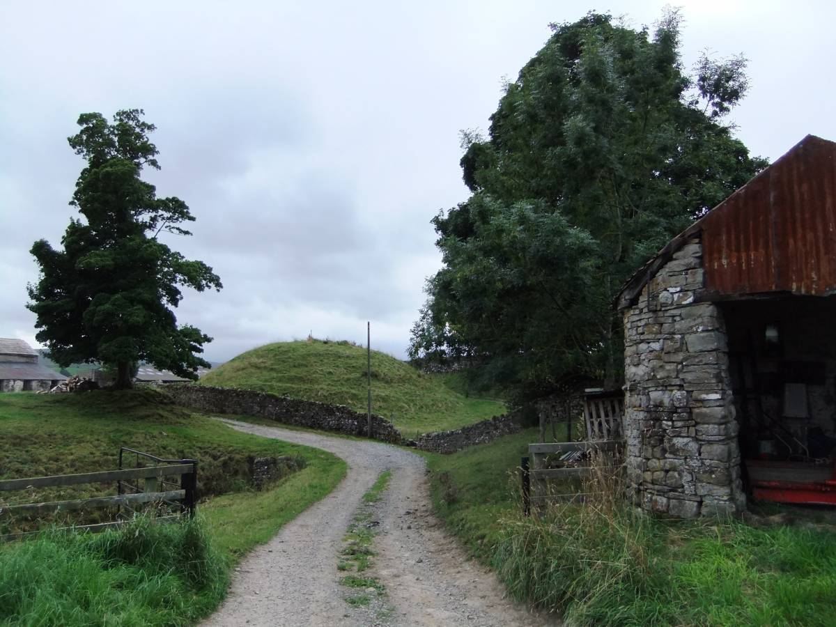
| Image 4 ID | 5447 Click image to enlarge |
| Image 4 Description | The Carlton Motte, an outpost of the small Norman Motte and Bailey at Middleham. This small steep sided mound would support a small timber fort. | 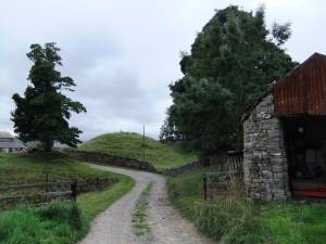 |
| Image 5 ID | 5445 Click image to enlarge |
| Image 5 Description | The Carlton Motte. | 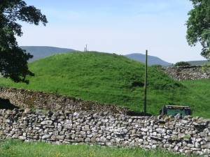 |
| Image 6 ID | 7278 Click image to enlarge |
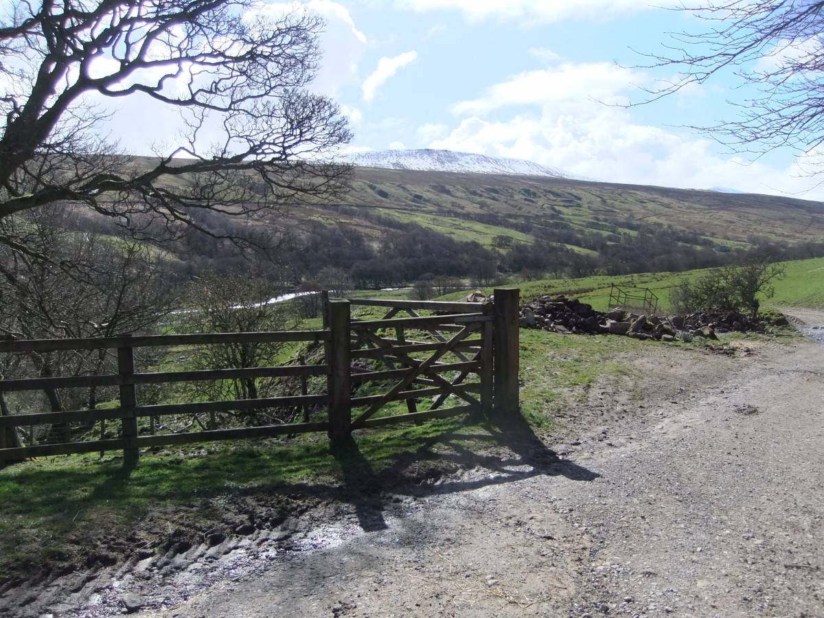
| Image 6 Description | Approach to the Cover | 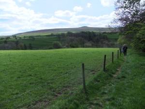 |
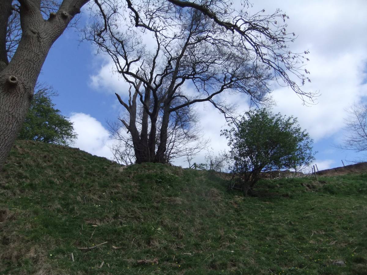
| Image 7 ID | 7280 Click image to enlarge |
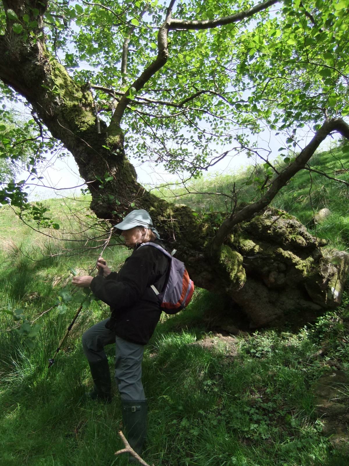
| Image 7 Description | Ancient alder coppice at the side of a hollow way leading down to the Cover. | 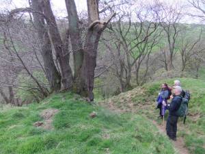 |
| Image 8 ID | 7281 Click image to enlarge |
| Image 8 Description | Ancient alder coppice at the side of a hollow way leading down to the Cover. |  |
| Image 9 ID | 7282 Click image to enlarge |
| Image 9 Description | Ancient alder coppice at the side of a hollow way leading down to the Cover. |  |
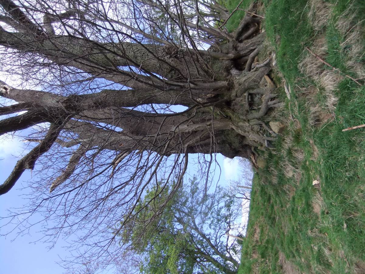
| Image 10 ID | 7277 Click image to enlarge |
| Image 10 Description | Ancient alder pollard. By the Cover. | 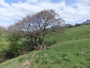 |
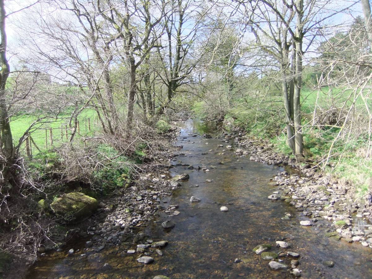
| Image 11 ID | 7286 |
| Image 11 Description | River Cover | 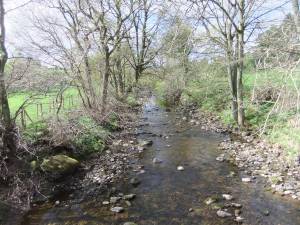 |
| Image 12 ID | 7287 |
| Image 12 Description | Two mature wych elms in the pastures. The Dales are a refuge for surviving mature wych elms which have been virtually eliminated from the lowlands by the Dutch elm beetle. | 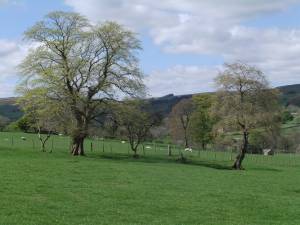 |
| Image 13 ID | 7278 |
| Image 13 Description | Approach to the Cover. | |
| Image 14 ID | 5398 |
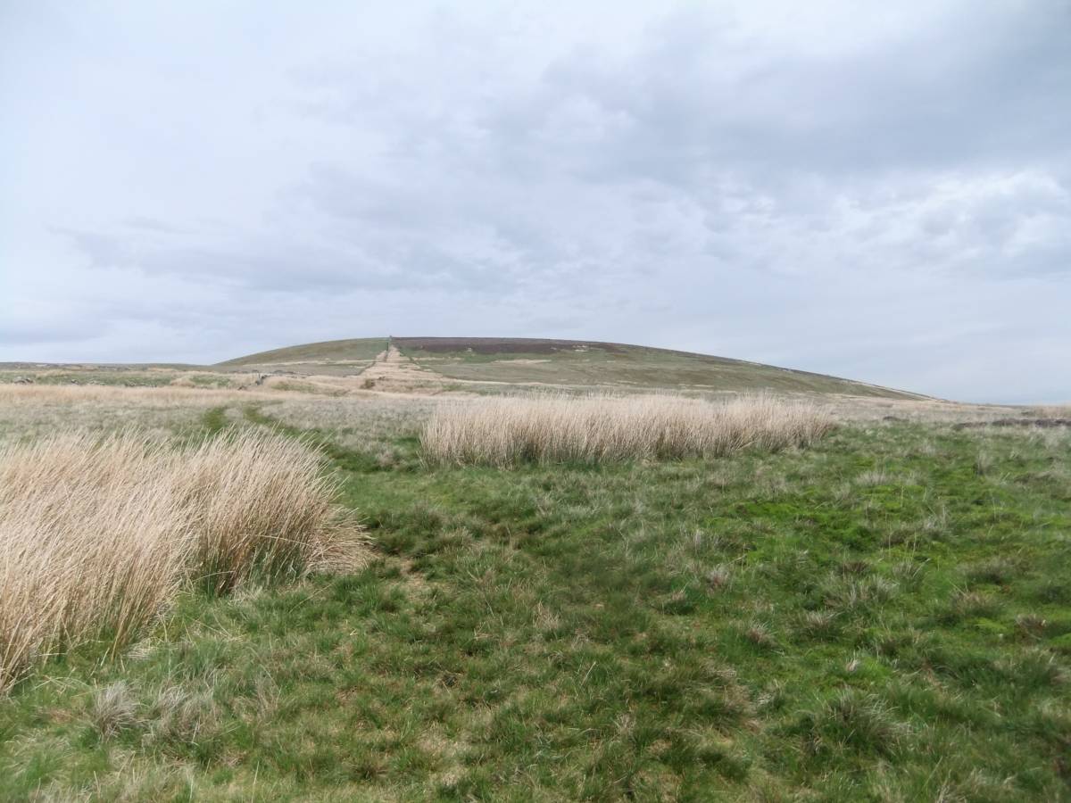
| Image 14 Description | Gammersgill Moor. Glacial landform Isolated drumlin. |  |
| Image 15 ID | 5399 |
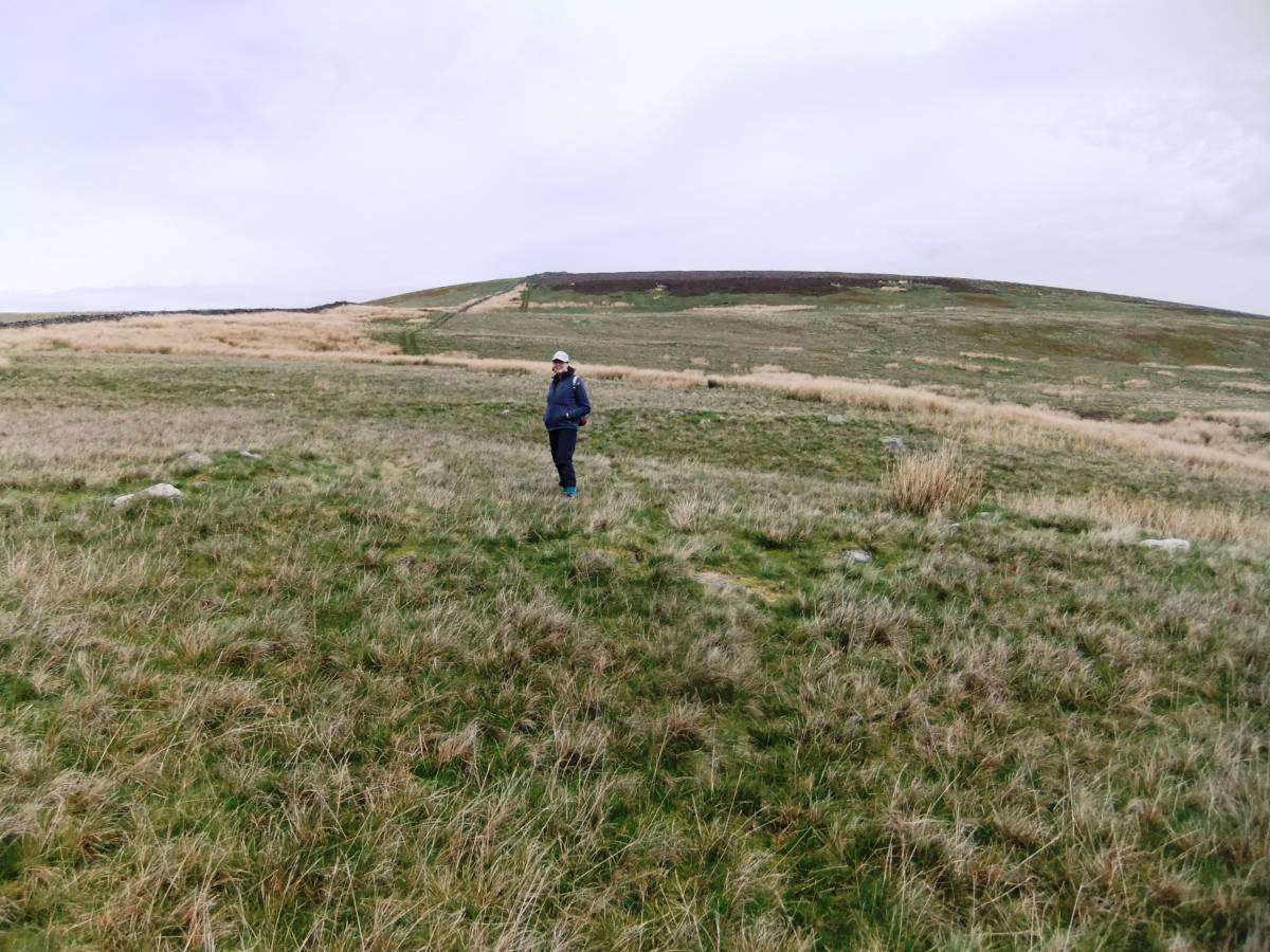
| Image 15 Description | Gammersgill Moor. Harland Hill, Glacial landform. Approach to the settlement at 490m immediately below the steep upper slope. | 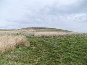 |
| Image 16 ID | 5400 |
| Image 16 Description | Gammersgill Moor. Glacial landform, Drumlin. |  |
| Image 17 ID | 5402 |
| Image 17 Description | Cumma Gill. | 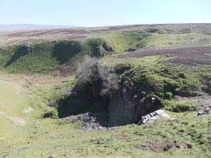 |
| Image 18 ID | 5410 |
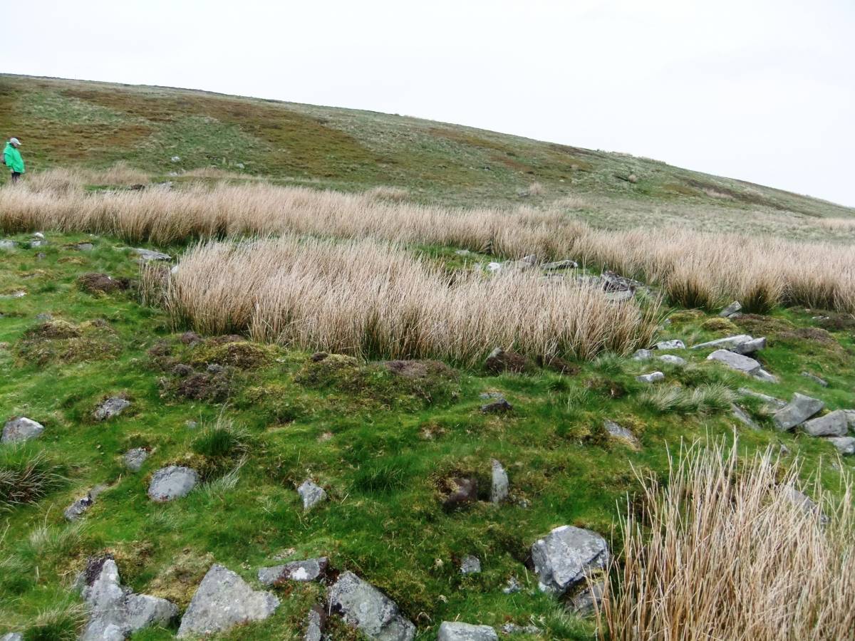
| Image 18 Description | Sketch survey of the prehistoric settlement complex below Harland Hill. At least 18 round house platforms and associated enclosures with associated burnt mounds, see image nos 19-25 below. Previously interpreted as a post medieval sheep fold complex. | 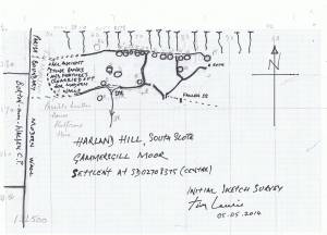 |
| Image 19 ID | 5412 |
| Image 19 Description | Settlement below Harland Hill. House platform. | 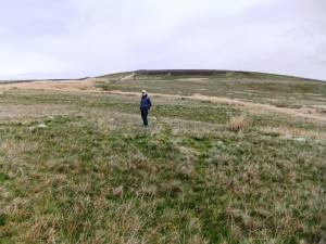 |
| Image 20 ID | 5432 |
| Image 20 Description | Settlement below Harland Hill. House platform. | 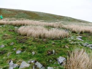 |
| Image 21 ID | 5433 |
| Image 21 Description | Settlement below Harland Hill. House platform. | 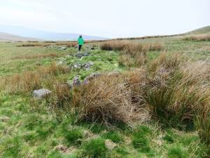 |
| Image 22 ID | 5424 |
| Image 22 Description | Settlement below Harland Hill. House platform. | 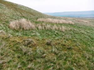 |
| Image 23 ID | 5416 |
| Image 23 Description | Settlement below Harland Hill. Burnt mound 700m to north of the settlement. | 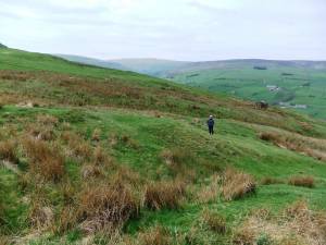 |
| Image 24 ID | 5415 |
| Image 24 Description | Settlement below Harland Hill. Burnt mound 700m to north of the settlement. | 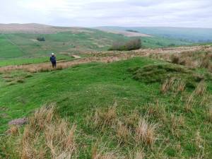 |
| Image 25 ID | 5436 |
| Image 25 Description | Settlement below Harland Hill. House platform.. | 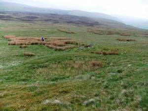 |
| Image 26 ID | 5513 |
| Image 26 Description | Fleemis Gill. Recording woodland. Keeping upright on a steep slope is good exercise and better than the gym. |  |
| Image 27 ID | 5447 |
| Image 27 Description | Carlton Motte. | |
| Image 28 ID | 5449 |
| Image 28 Description | View across the upper reaches of the River Cover. The river runs through areas of ancient alder woodland. | 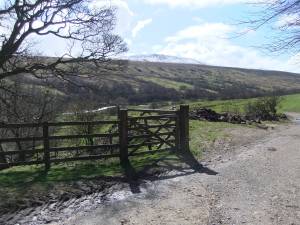 |
| Image 29 ID | 5491 |
| Image 29 Description | Fleemis Gill. Recording woodland. | 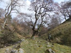 |
| Image 30 ID | 5502 |
| Image 30 Description | Fleemis Gill. Iron bloomery, iron smelting slag mound. Iron bloomeries as this example are located close to the ancient alder coppice woods which were managed for charcoal production. | 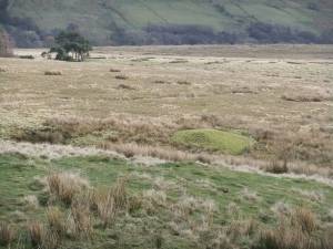 |