|
| *****SWAAG_ID***** | 974 |
| Date Entered | 31/01/2017 |
| Updated on | 31/01/2017 |
| Recorded by | Tim Laurie |
| Category | Burnt Mound |
| Record Type | Archaeology |
| SWAAG Site Name | |
| Site Type | |
| Site Name | |
| Site Description | |
| Site Access | Public Access Land |
| Location | Holgate How, South Slope above Hollin Wood |
| Civil Parish | New Forest |
| Brit. National Grid | NZ 0646 0450 |
| Altitude | 375m |
| Geology | |
| Record Name | Holgate How, South Slope. Burnt mound and associated settlement evidence |
| Record Description | An undisturbed and characteristic burnt mound of medium size located on open moorland just below the spring rise of a small stream close to the walled pastures below West House. |
| Dimensions | 8m*5m *1m overall estimated |
| Geographical area | |
| Species | |
| Scientific Name | |
| Common / Notable Species | |
| Tree and / or Stem Girth | |
| Tree: Position / Form / Status | |
| Tree Site ID | 0 |
| Associated Site SWAAG ID | 0 |
| Additional Notes | This burnt mound completes the small settlement complex previously recorded on SWAAG Database Record Nos 256 and 425. This small complex of Early to Middle Bronze Age Character comprises an as yet unsurveyed unenclosed round house settlement and associated field system located partly within the pastures above Holgate Farm and partly on open moorland above Hollin Wood, several rock art sites and the fine round barrow on the summit of Holgate How. |
| Image 1 ID | 7153 Click image to enlarge |
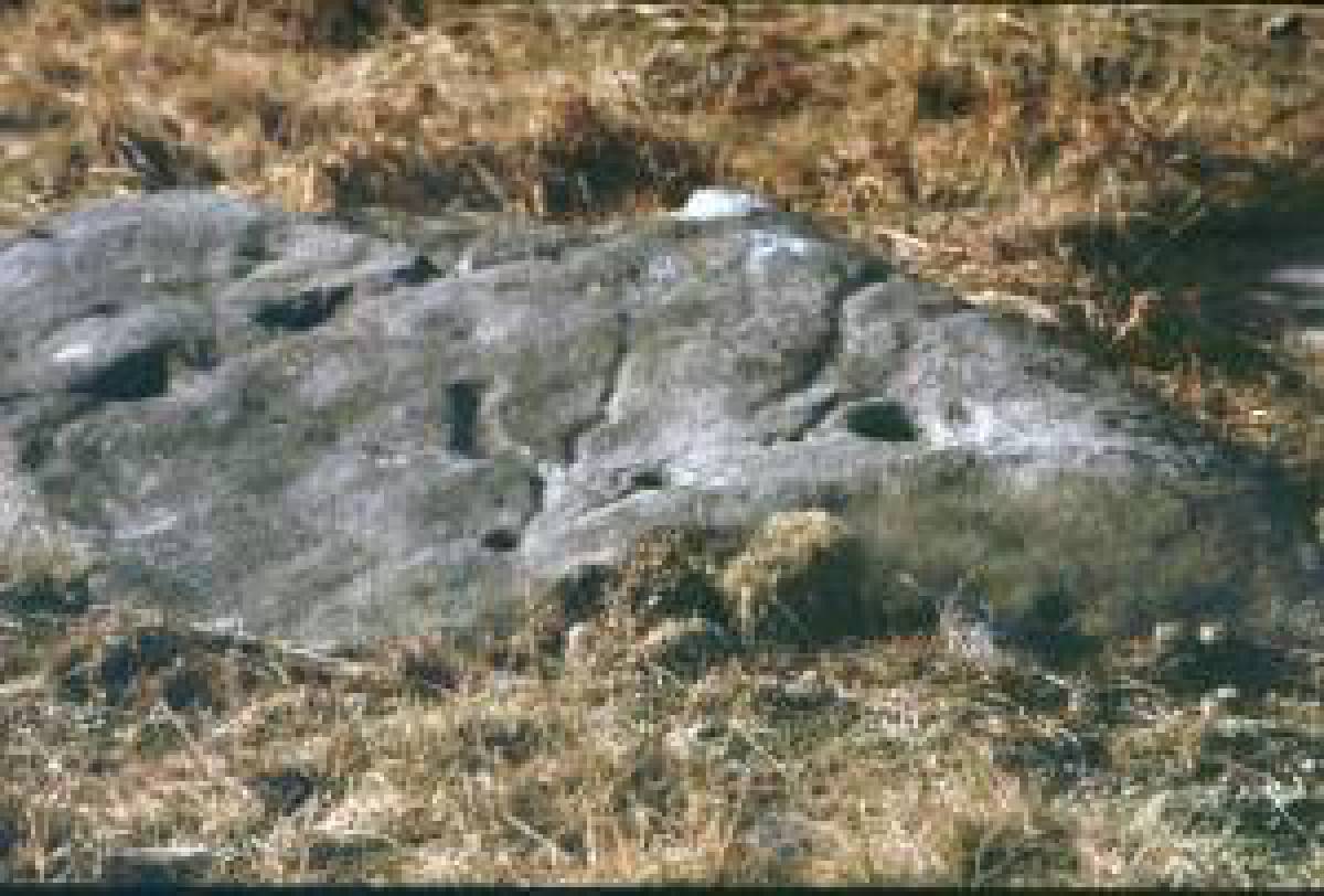
| Image 1 Description | Burnt mound below Holgate How close to West House Pastures. | 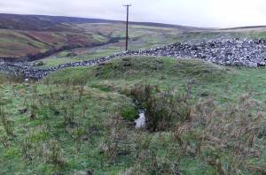 |
| Image 2 ID | 7154 Click image to enlarge |
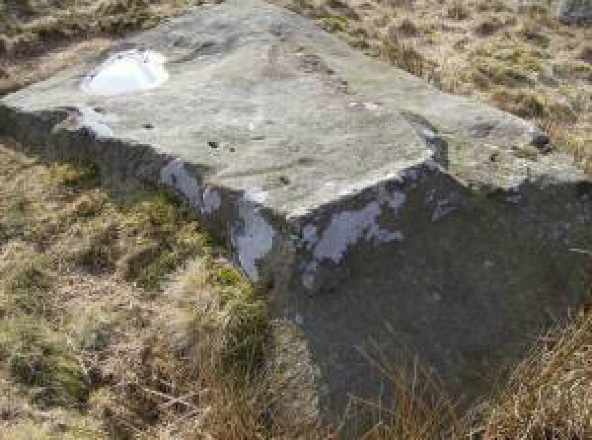
| Image 2 Description | Burnt mound below Holgate How close to West House Pastures. | 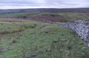 |
| Image 3 ID | 7155 Click image to enlarge |
| Image 3 Description | Holgate and Holgate How viewed from the south | 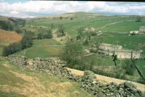 |
| Image 4 ID | 7156 Click image to enlarge |
| Image 4 Description | Cup and ring marked rock below Holgate How | 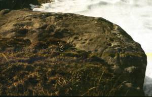 |
| Image 5 ID | 7157 Click image to enlarge |
| Image 5 Description | Detail of the decorated surface | 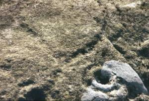 |
| Image 6 ID | 7158 Click image to enlarge |
| Image 6 Description | Visit to view the rock art and other sites at Holgate by fiends of the Swaledale Museum | 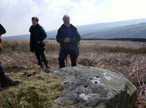 |
| Image 7 ID | 7159 Click image to enlarge |
| Image 7 Description | Early photograph of the first cup and ring marked rock to be recognised at this location. This rock is now almost invisible under longer grass following reduction in grazing. | 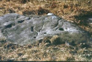 |
| Image 8 ID | 7160 Click image to enlarge |
| Image 8 Description | Cup marked rock. A number of large rocks on the south slope of Holgate How are cup marked. Most of the rocks have been quarried or partly quarried away | 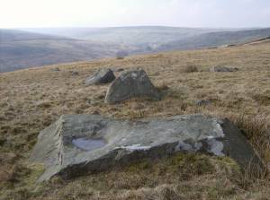 |
| Image 9 ID | 7161 Click image to enlarge |
| Image 9 Description | Cup marked rock. |  |
| Image 10 ID | 7165 Click image to enlarge |
| Image 10 Description | Some lithic finds of Mesolithic and Neolithic character from the Swale-Tees Greta interfluve. | 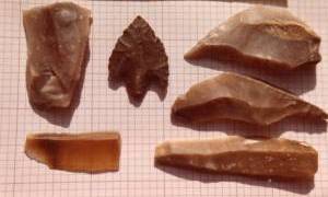 |