|
| *****SWAAG_ID***** | 978 |
| Date Entered | 22/02/2017 |
| Updated on | 22/02/2017 |
| Recorded by | Tim Laurie |
| Category | Standing Stones / Circles |
| Record Type | Archaeology |
| SWAAG Site Name | |
| Site Type | |
| Site Name | |
| Site Description | |
| Site Access | |
| Record Date | 16/02/2017 |
| Location | Upper Teesdale.Mickleton CP. Lune Head. On south side of the B6276 road from Brough to Middleton in Teesdale. |
| Civil Parish | Lunedale |
| Brit. National Grid | NY 85049 20410 |
| Altitude | 444m |
| Geology | On limestone pavement below eroded blanket peat at the outcrop of the Main Limestone. This area has been extensively worked for lead. |
| Record Name | The Lune Head Stone Ring, remains of |
| Record Description | The remains of this small stone ring are located just below the summit of the pass through Lune Dale from Mickleton to Brough. This small stone ring is false crested just below the pass so as to overlook and in turn be visible from the area of known prehistoric settlements at the junction of Lunedale with Teesdale centred at Kirk Carrion.
Kirk Carrion, now a landmark copse of trees, see photo image no was the site of a Bronze Age Round cairn which was completely quarried out to provide stone for the 18/19C stone walled enclosed pastures.
The eastern half of this stone ring survives today as a complete semi circle of small earth fast boulders 11.0m diameter overall together with one or two similar but larger boulders on the western perimeter. A large standing stone located at NY85138 20428 is considerd to be an outlier to this stone ring.
The presence of other smaller boulders indicates that this stone ring may be more accurately described as the remains of a ring cairn.
Either way this ring almost certainly marks the location of cremation burials and could also be described as an enclosed cremation cemetery characteristic of the early to middle Bronze Age. |
| Dimensions | 11.0m diameter overall |
| Geographical area | |
| Species | |
| Scientific Name | |
| Common / Notable Species | |
| Tree and / or Stem Girth | |
| Tree: Position / Form / Status | |
| Tree Site ID | 0 |
| Associated Site SWAAG ID | 0 |
| Additional Notes | This stone ring is set in very wild surroundings below the wilderness of Mickle Fell. The views from the ring in Winter are forbidding but in Spring are exhilarating. The area has been extensively worked for lead.
The Kirk Carrion Cairn will be the subject of a following Database Record. |
| Image 1 ID | 7188 Click image to enlarge |
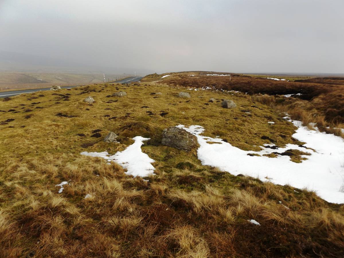
| Image 1 Description | The Lune Head stone ring and view ENE down through Lune Dale |  |
| Image 2 ID | 7189 Click image to enlarge |
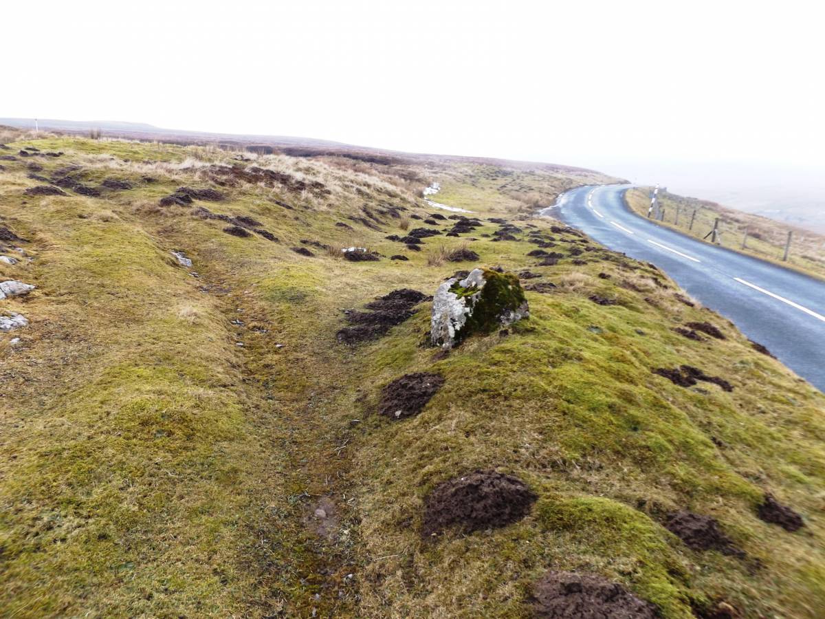
| Image 2 Description | The Lune Head stone ring and view ENE. The outlier stone is visible in the middle distance. | 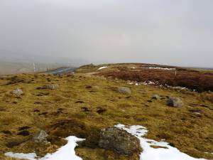 |
| Image 3 ID | 7190 Click image to enlarge |
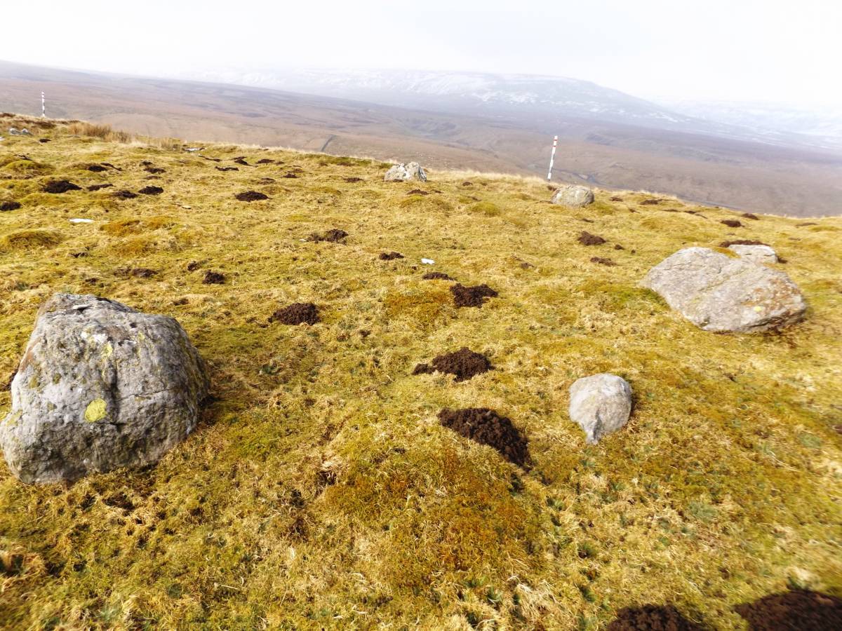
| Image 3 Description | The Lune Head stone ring and view northward towards the wilderness of Mickle Fell. | 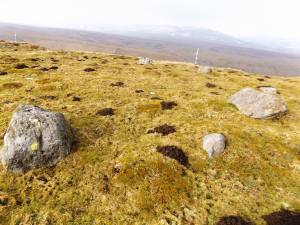 |
| Image 4 ID | 7191 Click image to enlarge |
| Image 4 Description | View over the outlier ENE towards Kirk Carrion | 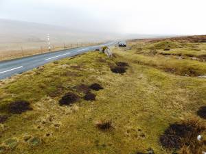 |
| Image 5 ID | 7192 Click image to enlarge |
| Image 5 Description | View over the outlier WSW towards the stone ring | 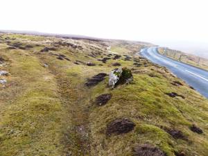 |
| Image 6 ID | 7193 Click image to enlarge |
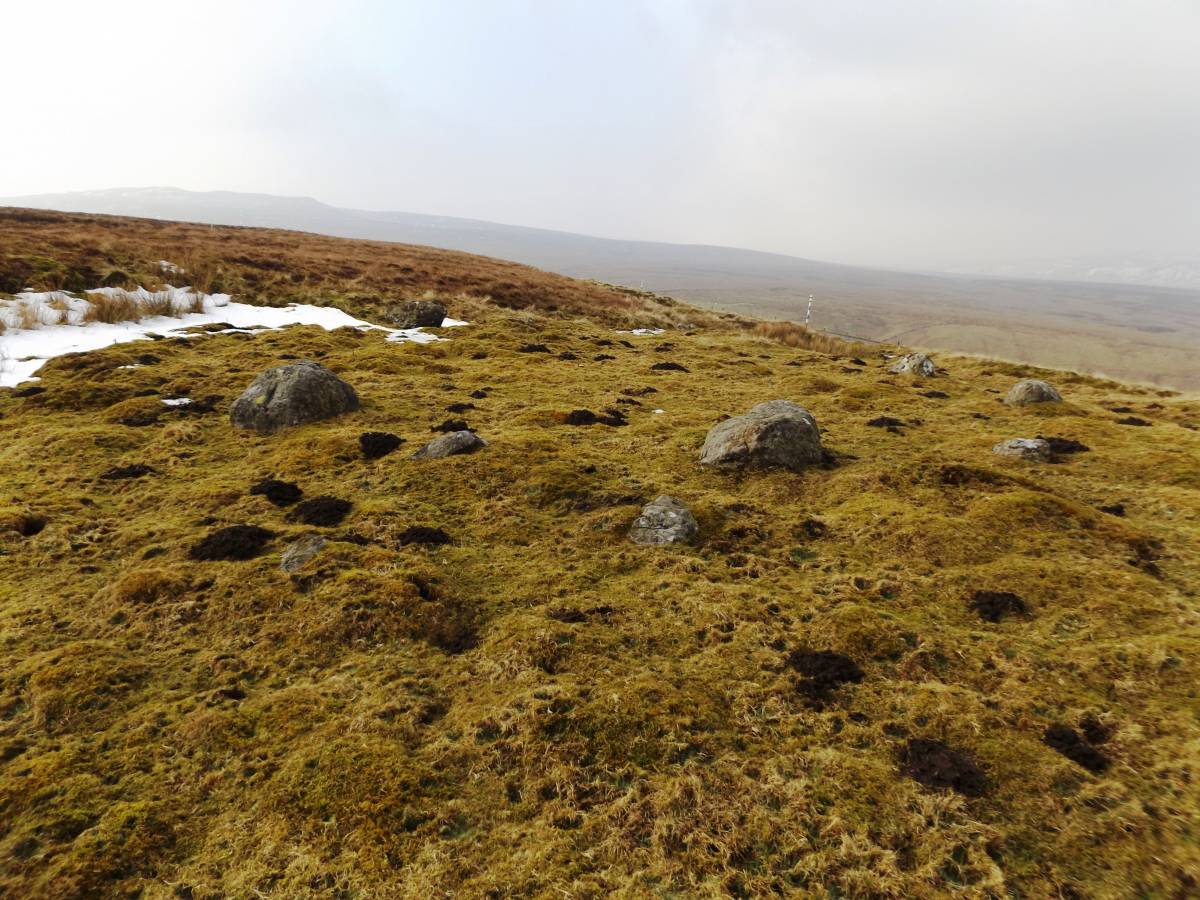
| Image 6 Description | View SW from the stone ring towards the wilderness of Little Fell | 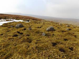 |
| Image 7 ID | 7194 Click image to enlarge |
| Image 7 Description | The site of the destroyed Kirk Carrion Bronze Age round cairn is now marked by a copse of trees. Kirk Carrion is a prominent landmark clearly visible from all parts of Teesdale. | 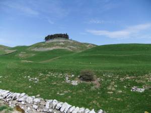 |