|
| *****SWAAG_ID***** | 1008 |
| Date Entered | 25/04/2018 |
| Updated on | 23/05/2020 |
| Recorded by | Doug Waugh |
| Category | Stone structure |
| Record Type | Archaeology |
| SWAAG Site Name | |
| Site Type | |
| Site Name | |
| Site Description | |
| Site Access | Public Access Land |
| Record Date | 23/07/2014 |
| Location | From the access gate at SE 081938 |
| Civil Parish | Ellerton Abbey |
| Brit. National Grid | |
| Altitude | |
| Geology | |
| Record Name | Preston Moor - several structures |
| Record Description | This record is incomplete and requires considerably more work, which, hopefully, will be done in the future, not necessarily by the original explorers. It is incomplete because it comes from a spur-of-the-monet walk that Tim Laurie and I made into Preston Moor. We followed the track and soon came to the coal pits - at first just the tops of small shafts with limited waste, forming a circular mound. But as we progressed alongside the stream into the flat, plain area we found shafts surrounded by larger mounds, sometimes elliptical and flattened - almost certainly for some sort of horse-worked mechanism for pulling up the shaft - men and coal. This is where - we believe - there were horizontal workings from the shaft.
Some shafts also had noticeable stones around the inside - but not good enough to categorically say they had been lined.
In the middle of the “plain” to the left Tim said there was a burnt mound and it was a very good one. We went over (it is at the front of the rising ground) and used my tape to measure it.
We walked on on that side, admiring the shafts, even plants, and then worked a little to the right and faced two valleys - i.e. from the south there was the rising ground, a valley, a promontory, a valley then more rising ground before the stream and going on to where the very striking old farmhouse remains were - like the walls of a Pele tower.
We took the right valley and found the trace of a wall. It ran between the two rising grounds, across the valleys and the promontory.
After walking it and checking both ends to see if we could find any continuation (the Southern end was lost where 3 or so hollow ways were) we walked on from the North end and soon came to what seemed to me like rectangular remains, but Tim wondered if hut circle - v. good walling remains - and then another deeper circle with a little stone visible in one corner. Still further, a little to the left was a small ring cairn or quarried cairn - all very exciting.
We walked on to shortly find on the promontory the remains - Tim had come here many years ago and found lots of medieval pottery. And sure enough there was a piece on the Southern slope, out of a rabbit hole.
The rabbit holes on this side helped a lot as we found a lot of slag, ranging from light, lightly-burned stuff to heavy metal-coated stuff. This all came from this long slope and at the top were these stones that formed a rectangle. To the South were more substantial and a little larger remains, marked by banks. But all that slag indicated, perhaps, a blacksmiths - with a two-part building.
This was a real question (not helped by the new book on Wensleydale mining) - where were the mine offices, stables for all the horses, blacksmiths and workshops for all the fabrication etc., shelter for the miners, mine shops etc.
|
| Dimensions | |
| Geographical area | |
| Species | |
| Scientific Name | |
| Common / Notable Species | |
| Tree and / or Stem Girth | |
| Tree: Position / Form / Status | |
| Tree Site ID | 0 |
| Associated Site SWAAG ID | 0 |
| Additional Notes | |
| Image 1 ID | 6650 Click image to enlarge |
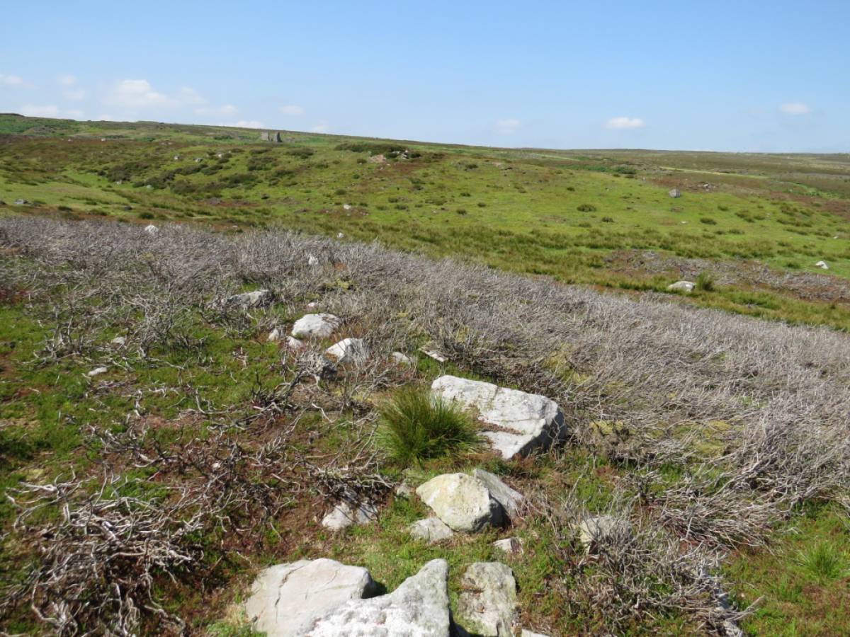
| Image 1 Description | The wall debris looking north. The wall appears to be running from one ridge to the other, but it's purpose is not obvious. It does not appear to link to any other wall or obstacle and only runs north/south for a reasonably short distance. The building in the distance should establish the position, should there be any difficulty finding it. | 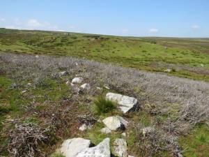 |
| Image 2 ID | 6651 Click image to enlarge |
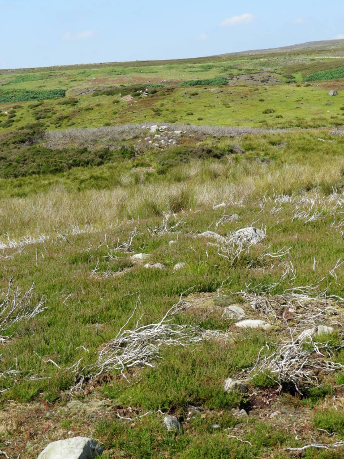
| Image 2 Description | The wall debris looking north again from a different vantage point. | 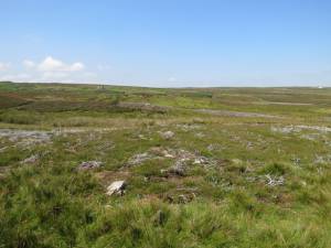 |
| Image 3 ID | 6652 Click image to enlarge |
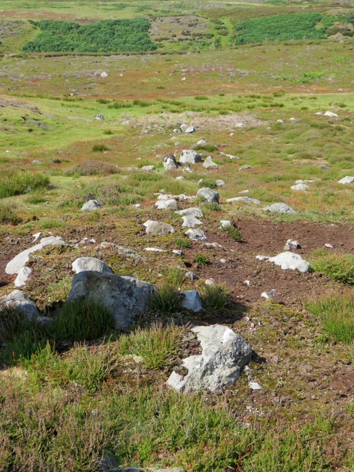
| Image 3 Description | This time looking south. | 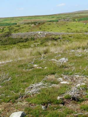 |
| Image 4 ID | 6653 Click image to enlarge |
| Image 4 Description | A further view looking south |  |
| Image 5 ID | 6654 Click image to enlarge |
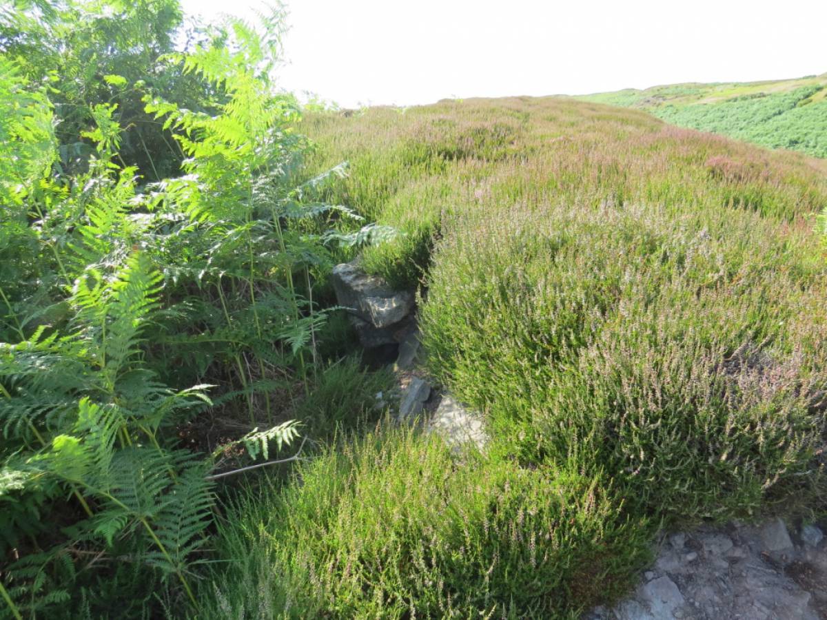
| Image 5 Description | This is a stone in the middle of the wall debris. It appears to have a use now; did it in earlier times? | 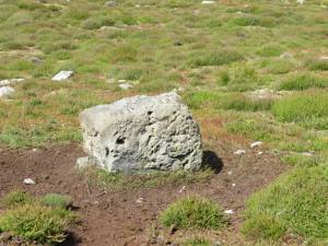 |
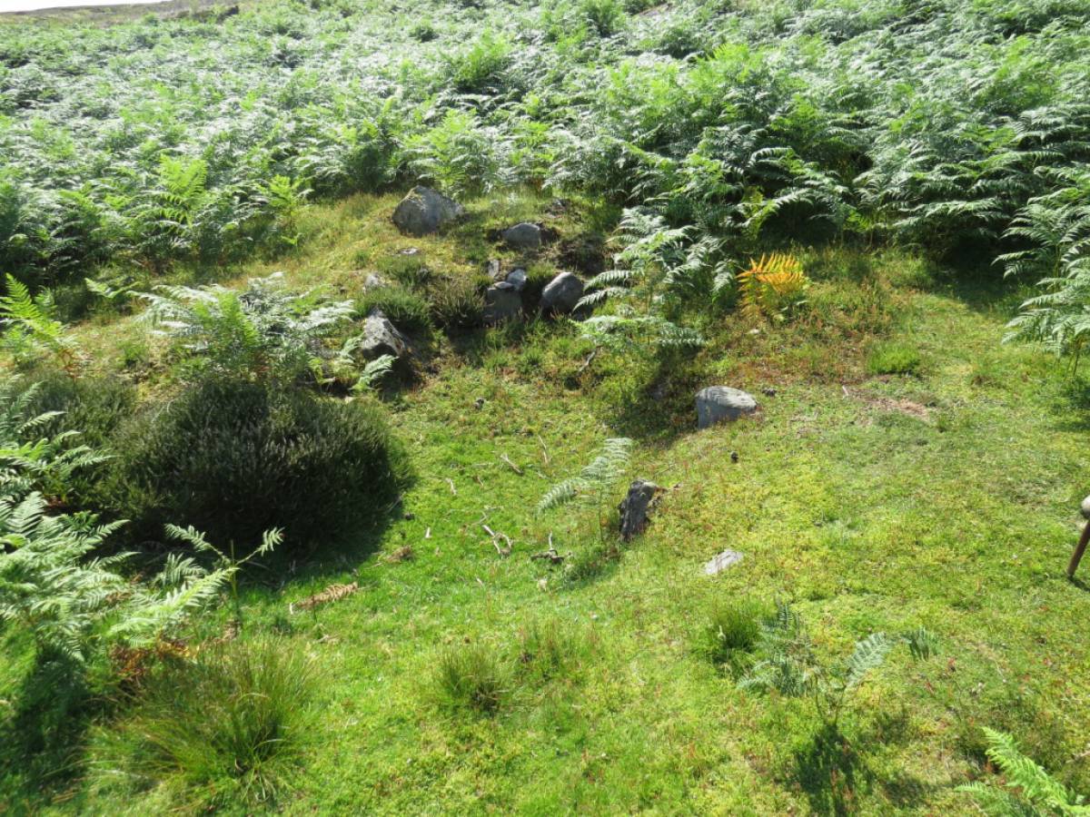
| Image 6 ID | 6655 Click image to enlarge |
| Image 6 Description | An image of one of the circular structures. | 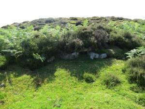 |
| Image 7 ID | 6656 Click image to enlarge |
| Image 7 Description | A further image of a circular structure. | 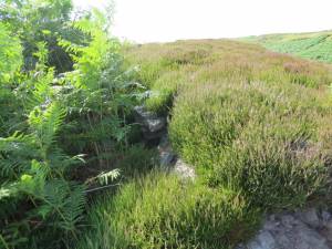 |
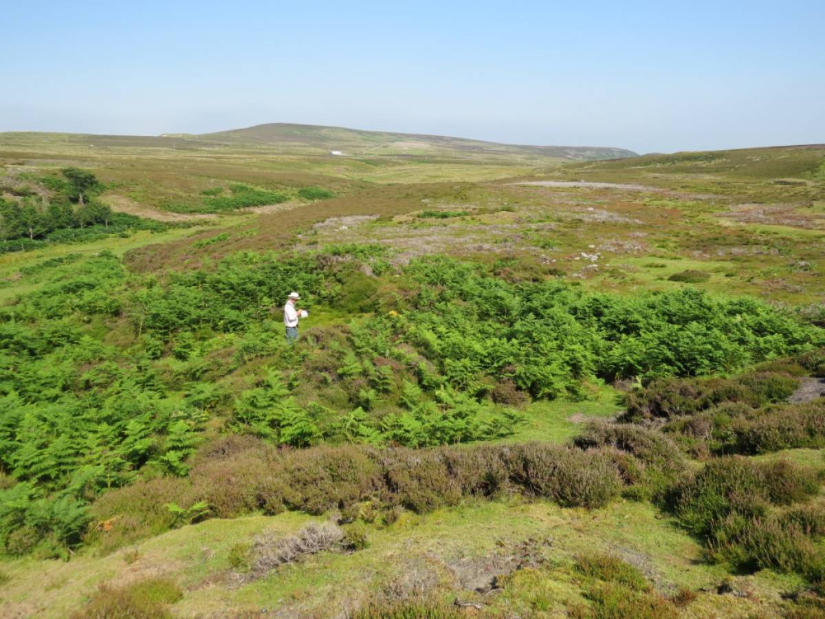
| Image 8 ID | 6657 Click image to enlarge |
| Image 8 Description | Tim looking at one of the circular structures. The view should allow the location of the structure to be fixed, if there is any doubt. |  |
| Image 9 ID | 6658 Click image to enlarge |
| Image 9 Description | A further image of a circular structure. |  |
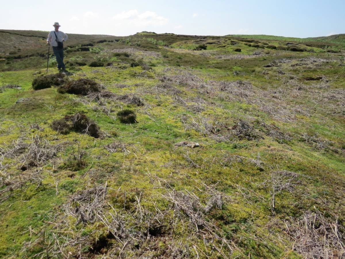
| Image 10 ID | 6659 Click image to enlarge |
| Image 10 Description | Tim standing on the sw corner of what appears to be the smithy. There was considerable appropriate waste on the slope to the left (Tim's right). | 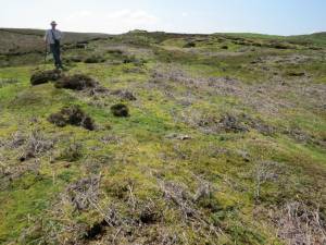 |