|
| *****SWAAG_ID***** | 1006 |
| Date Entered | 04/07/2017 |
| Updated on | 04/07/2017 |
| Recorded by | Tim Laurie |
| Category | Burnt Mound |
| Record Type | Archaeology |
| SWAAG Site Name | |
| Site Type | |
| Site Name | |
| Site Description | |
| Site Access | Public Access Land |
| Record Date | 30/06/2017 |
| Location | Haw Beck Springs |
| Civil Parish | Thoralby |
| Brit. National Grid | SD 97571 87069 |
| Altitude | 330m AOD |
| Geology | Springs rising below the Underset Limestone |
| Record Name | Haw Beck Springs revisited from Flout Moor Lane. Two large burnt mounds, a nearby settlement and an unusual glacial erratic |
| Record Description | Two very large burnt mounds are located on two of the three springs which form the source of Haw Beck. These large burnt mounds have been previously recorded as SWAAG Record No 63 and are described here again with the objective of emphasizing the their significance within the landscape of the Aysgarth Henge.
These burnt mounds are located close to the top of Flout Moor Lane some 700m to the west of Castle Dykes Henge. Both Henge and the Burnt Mounds are inter-visible.
As I have described elsewhere, (Laurie, 2003), the most constant springs were the focus for early human transhumant (seasonal) settlement activity on the NE Pennine Fringe.
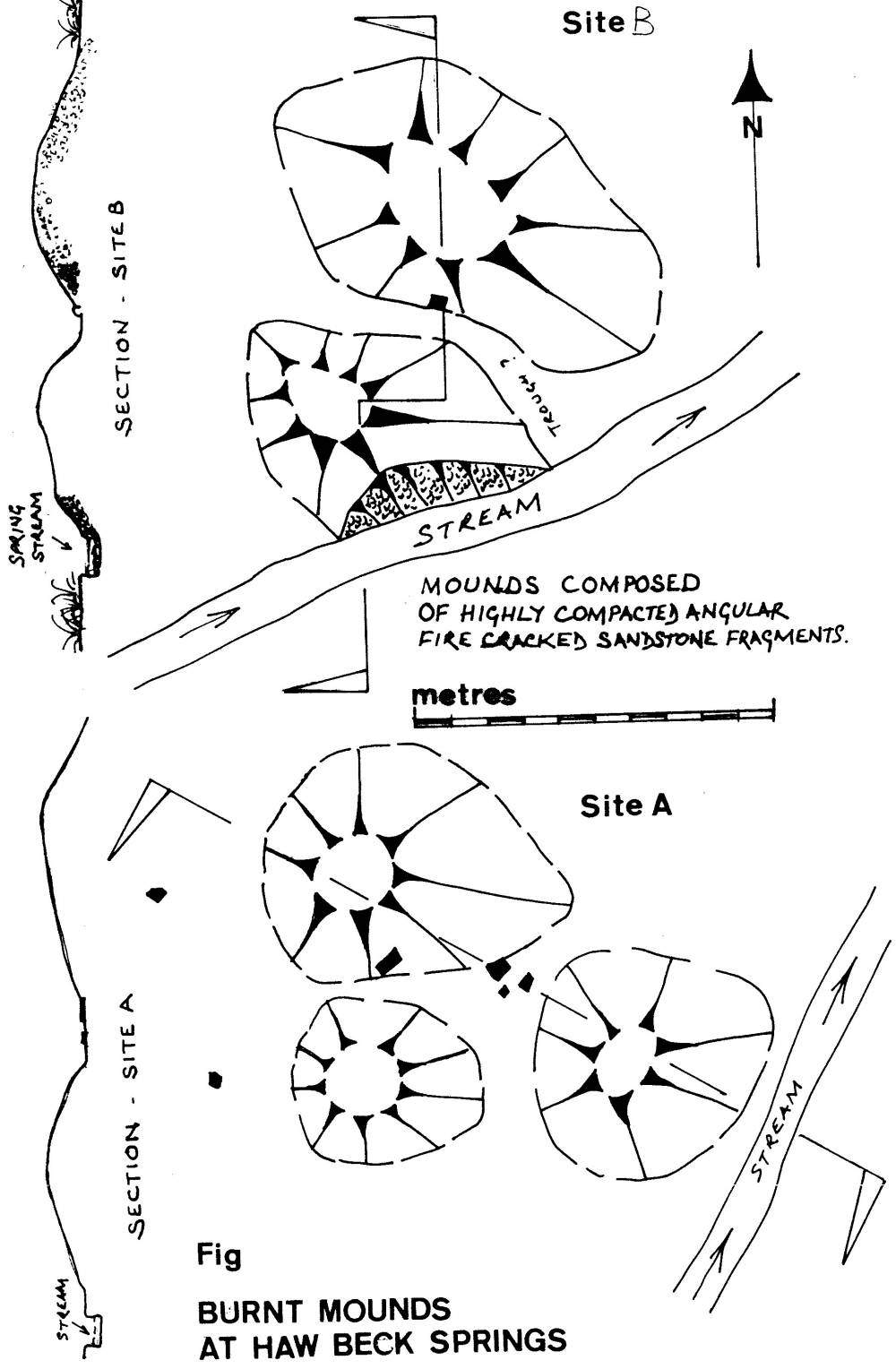
Evidence for settlement contemporary with the burnt mounds exists in the form of a large settlement platform and one small hut platform cut into the hill slope on the northern side of Flout Moor Lane, see surveyed location plan image 8 below.
Reference:
Laurie, T.C. 2003. 'Researching the Prehistory of Wensleydale, Swaledale and Teesdale.' in T.G.Manby et al.'The Archaeology of Yorkshire -An assessment at the end of the 21st century.'Yorkshire Archaeological Society Occasional Paper No 3. pp223-253. |
| Dimensions | See photos |
| Geographical area | |
| Species | |
| Scientific Name | |
| Common / Notable Species | |
| Tree and / or Stem Girth | |
| Tree: Position / Form / Status | |
| Tree Site ID | 0 |
| Associated Site SWAAG ID | 0 |
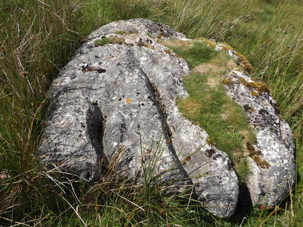
| Additional Notes | This return visit noted the existence of a very large and unusual glacial erratic limestone slab, see Image 5 below, located close to the springs and the burnt mounds. This fine limestone erratic has been deeply weathered by millennia of exposure to the elements. The presence of this deeply grooved rock must have enhanced the spring rise location. |
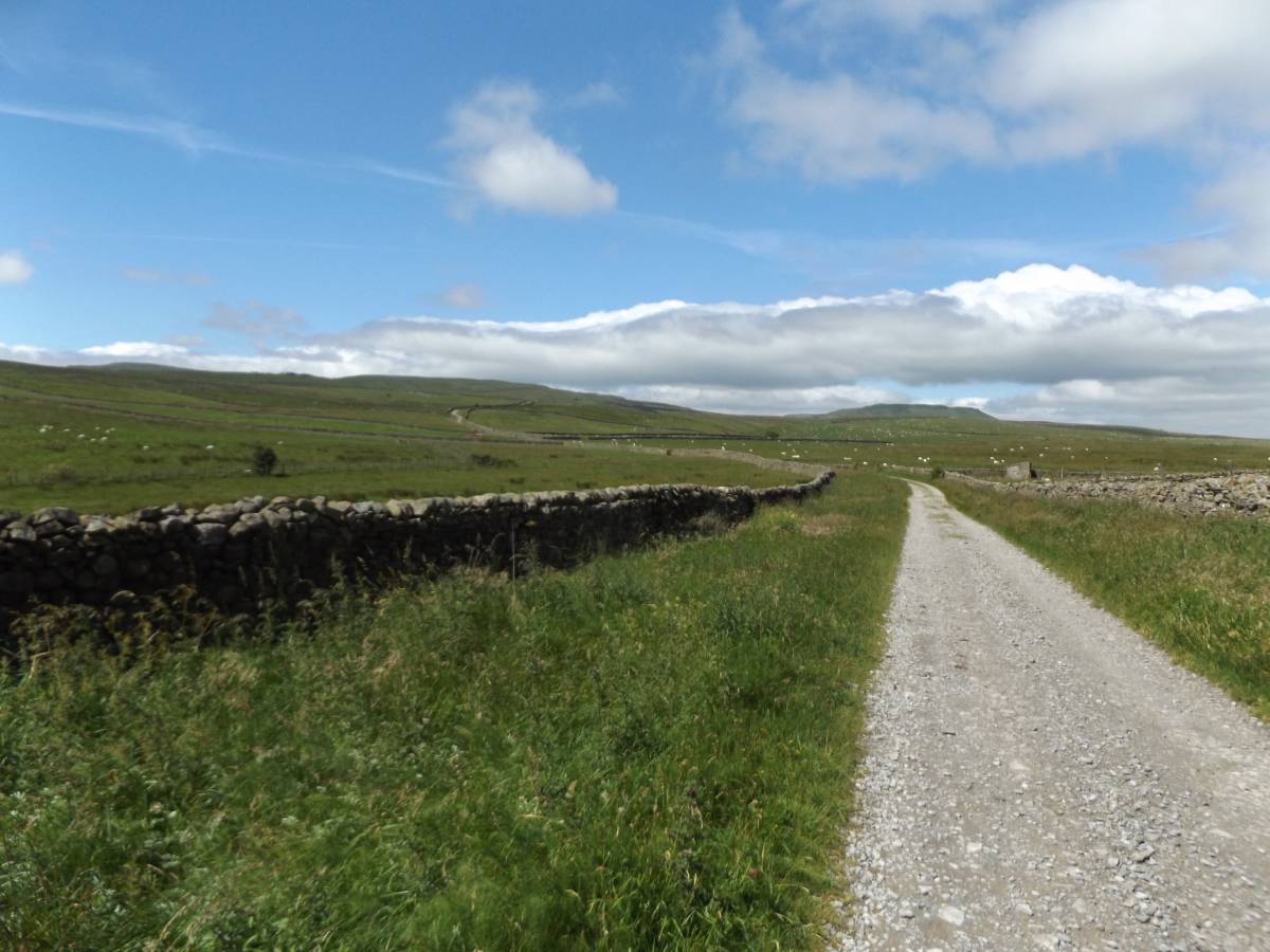
| Image 1 ID | 7404 Click image to enlarge |
| Image 1 Description | Flout Moor Lane. The approach to the Castle Dykes Henge and to the two burnt mounds at Haw Beck Springs |  |
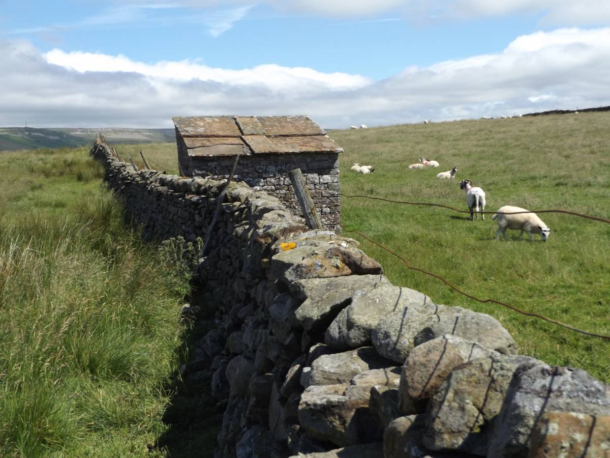
| Image 2 ID | 7406 Click image to enlarge |
| Image 2 Description | Small, stone slab roofed hog house seen close to the Lane. The roof slabs are similar to those seen during a SWAAG Walk at Carperby Quarry. | 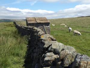 |
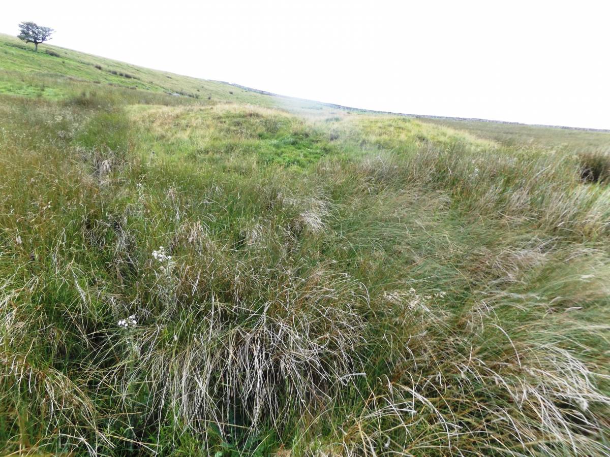
| Image 3 ID | 7407 Click image to enlarge |
| Image 3 Description | One of the two burnt mounds at Haw Beck Springs |  |
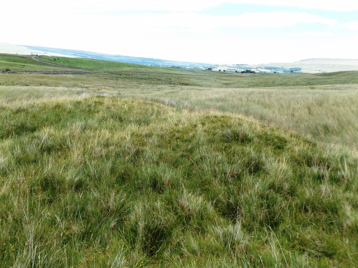
| Image 4 ID | 7408 Click image to enlarge |
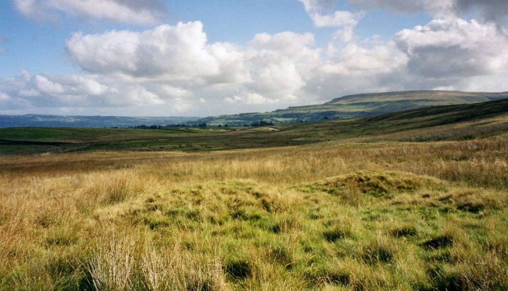
| Image 4 Description | View eastward from the burnt mounds | 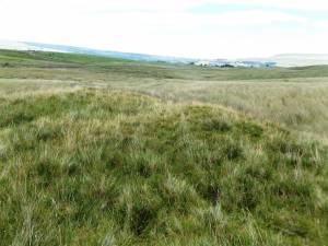 |
| Image 5 ID | 7410 Click image to enlarge |
| Image 5 Description | The heavily weathered limestone erratic located close to the burnt mounds and spring rise. |  |
| Image 6 ID | 253 Click image to enlarge |
| Image 6 Description | Early photograph of one of the burnt mounds at Haw Beck Springs | 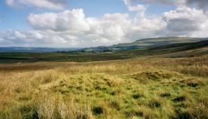 |
| Image 7 ID | 1759 Click image to enlarge |
| Image 7 Description | Early photograph of one of the burnt mounds at Haw Beck Springs | 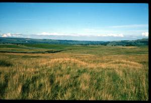 |
| Image 8 ID | 1755 Click image to enlarge |
| Image 8 Description | Location plan. Haw Beck Springs. | 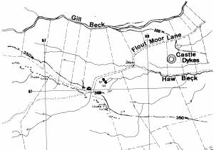 |
| Image 9 ID | 1756 Click image to enlarge |
| Image 9 Description | Plane table survey of the two burnt mounds | 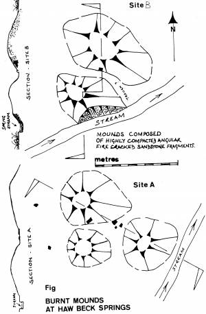 |
| Image 10 ID | 1757 Click image to enlarge |
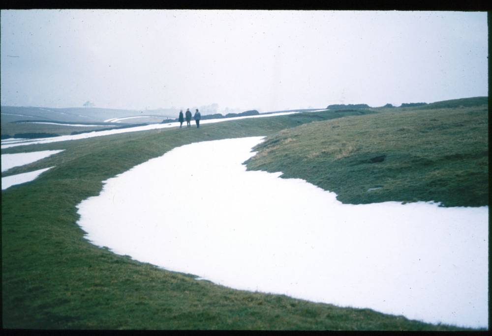
| Image 10 Description | Castle Dykes Henge in winter |  |
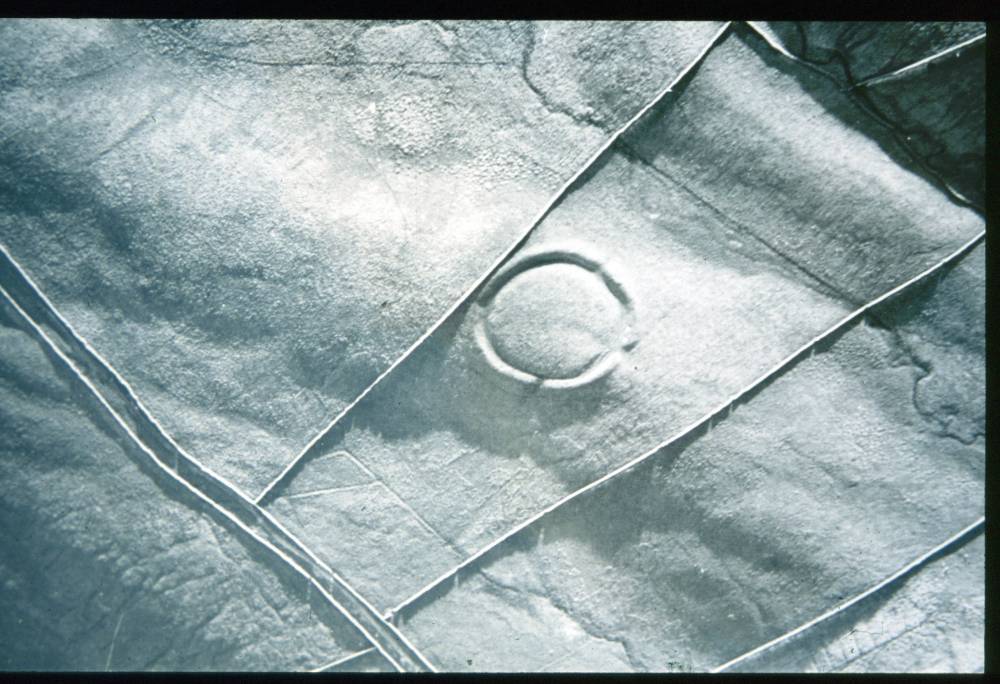
| Image 11 ID | 1758 |
| Image 11 Description | Aerial photo of the Castle Dykes Henge. (A.P. Keith St Joseph) |  |