|
Swaledale and Arkengarthdale Archaeology Group The Swaledale Project 7000 Years of a Landscape and its People Registered Charitable Incorporated Organisation Number 1155775 |
What is next:
2014 No hard plans yet other than completing SWAAG's work at Hagg Farm 103. It is likely that SWAAG will want to excavate at the Grinton defended settlement ahead of this site.
2013 SWAAG was excavating Hagg Farm site 103 the other side of Swaledale (4 excavations).
2012 Activities at Cogden Hall are:
The revised report can now be downloaded.
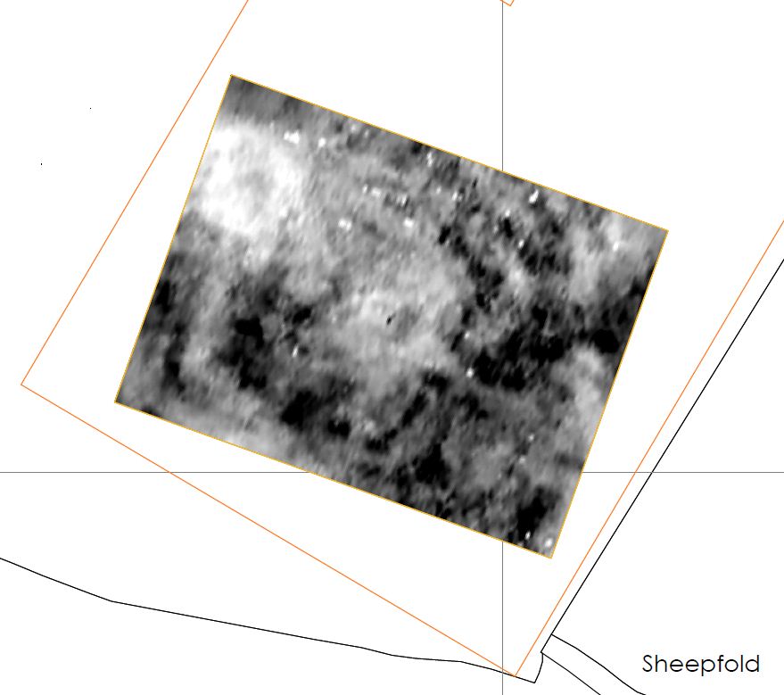
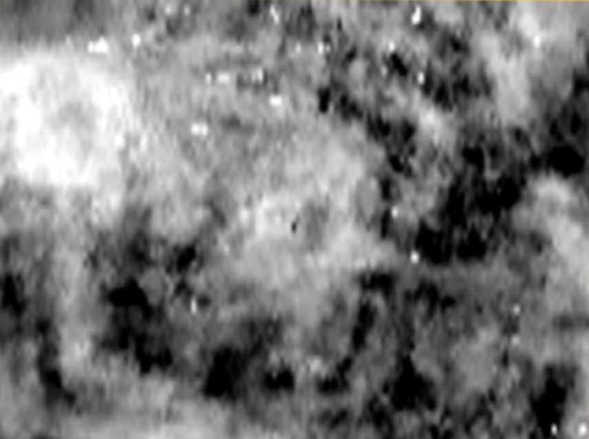
Monday 25-Tuesday 26 June: interim geophysics images are below:
Maps to be drawn.
What has been done:
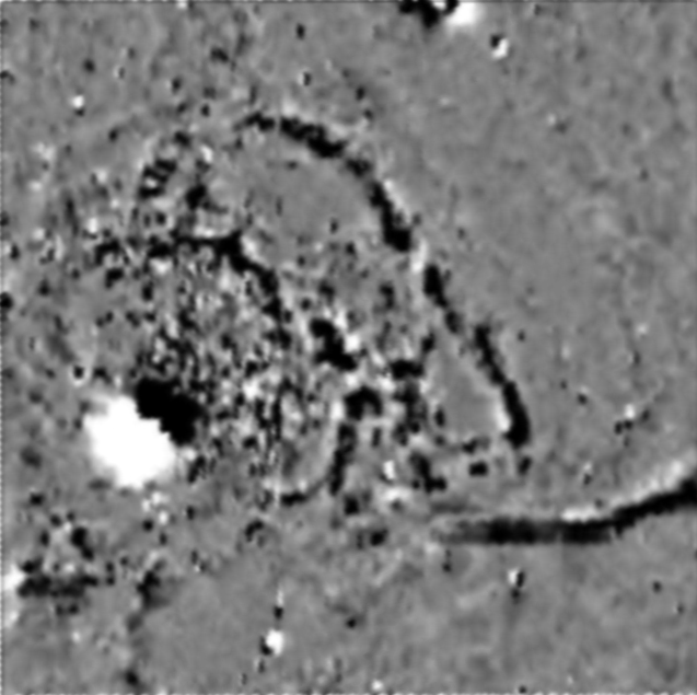
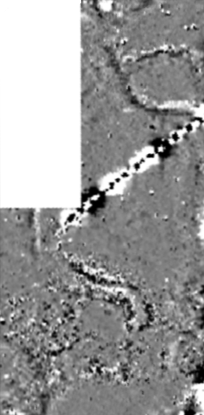
06/12/11 Two 100mx100m squares and a 100mx50m rectangle 'geophysed' using Bartington Fluxgate Magnetic Field Gradiometers
08/10/11: Old OS map images added.
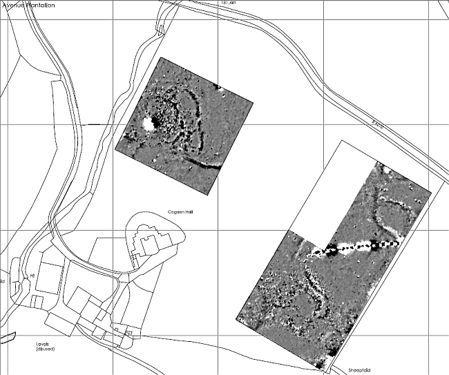
Survey Days 1 and 2: On 22/9/11 and 06/10/11 SWAAG members completed an initial GPS survey of the major earthworks. See Image. This data will be used in future map generation.
October 2010: SWAAG had a GPS training day when Trevor Pearson from the Yorkshire CBA demonstrated their professional grade surveying equipment. We were also able to compare SWAAG's methodology using 'high end' Garmin hand held units (GPSmap 60CSx). This exercise confirmed the suitability of this grade of GPS to map earthworks down to approximately 4 metres. All SWAAG maps are drawn using this technique. Details are available on this page.
Results:
23/02/2012 The combined report for Cogden Hall and Grinton East Mound is now available as a pdf download.
Most recent images will be at the top of this archive.
 Magnetometry Results |
 |
 |
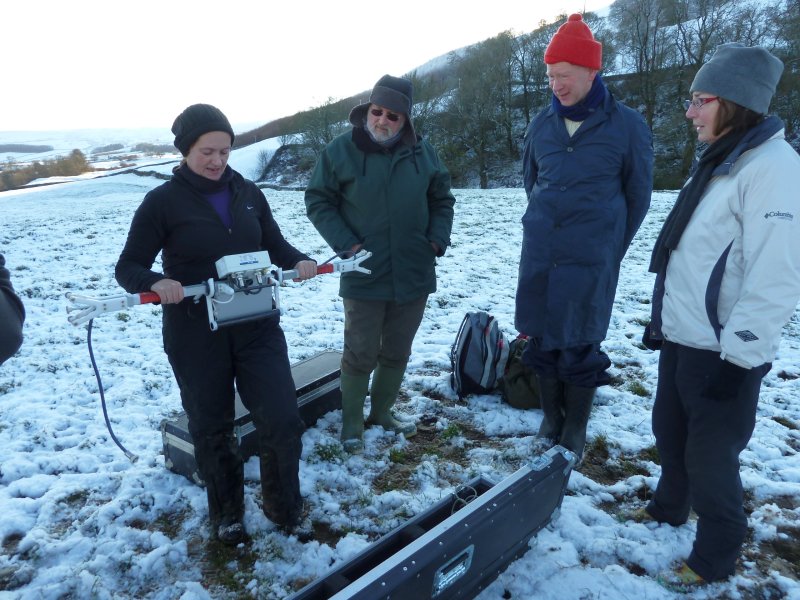 Natalie from ASDU demonstrating setting up the Bartington Fluxgate Magnetic Field Gradiometers, Cogden Hall 06/12/11 |
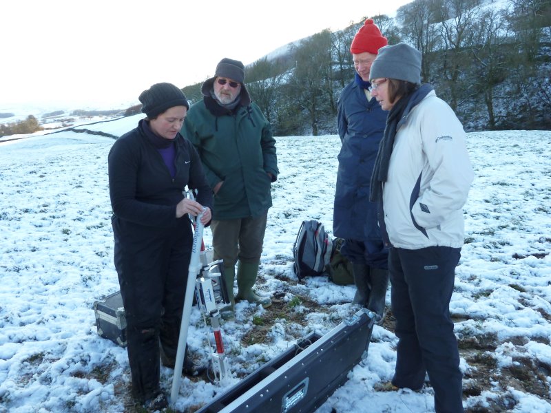 Natalie from ASDU demonstrating setting up the Bartington Fluxgate Magnetic Field Gradiometers, Cogden Hall 06/12/11 |
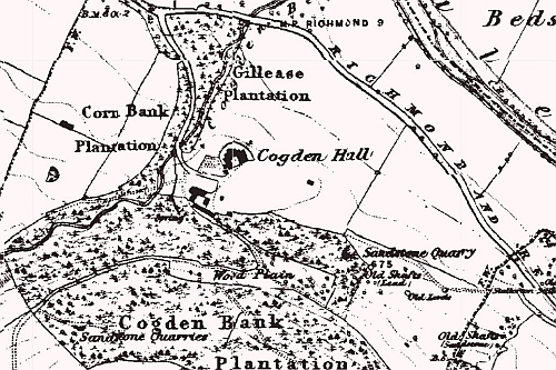 1846-63 |
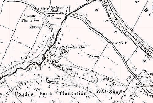 1889-99 |
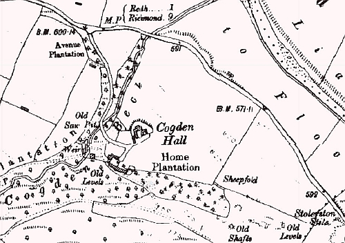 1907-24 |
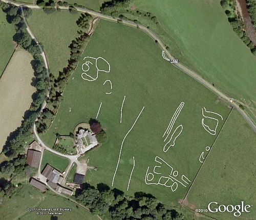 Survey Days 1 and 2 raw GPS data. GPS data S. Eastmead. Note the round house platform that clearly extended across the modern road. |
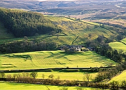
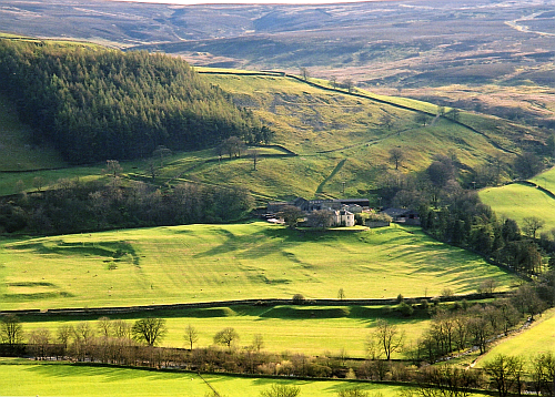 Cogden Hall from near Reels Head 2010. Photo Tim Laurie. The winter image below is the top left of this image |
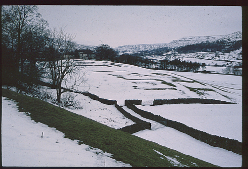 Cogden Hall in the snow showing the earth works in the south east corner. Photo Tim Laurie. |
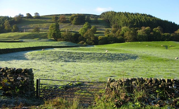 Main round platform from the Richmond Grinton road. Photo: Ric Carter |