| Viewing swaag.org website implies consent to set cookies on your computer. Full details | Swaledale and
Arkengarthdale Archaeology Group Registered Charitable Incorporated Organisation Number 1155775 |
SWAAG Honorary President:
Tim Laurie F,S,A, |
| SWAAG News Archive | |
| News Archive | |
| Aysgarth and Castle Dykes Saturday 18th November 2023 | |
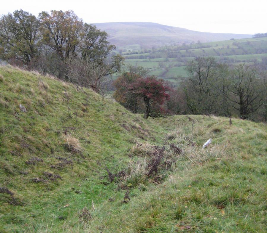
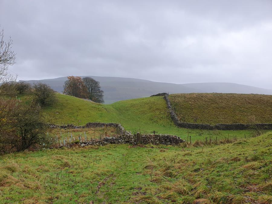
| A few hardy souls braved the weather for this walk. The forecast was so much better than what was delivered. Low cloud threatened to restrict the long distance views from the henge. The first port of call was the Edwardian Garden in Aysgarth. This is a significant structure built in 1906, even on a wet day in November it is a peaceful and beautiful place. This is a grade II listed “building” and is now in the care of Aysgarth Parish Council. From the Edwardian Garden the Quaker Cemetery is visible – this is one of the “Gaffs” behind the cottages at the west end of Aysgarth village, a few random gravestones are placed at the south end of the plot. There is no reference of where the actual Quaker Chapel was situated. Continuing on towards Thornton Rust, we turned off the road and followed the walled track known as Flout Moor Lane to the stile leading to Castle Dykes Henge. Jane Harrison gave an informative overview of the geology of the area, discussing the distinctive limestone landscape of the area and including the numerous “glacial melt water channels”. These are shallow valleys that ran parallel to the glacier and carried the melt water from the retreating glacier. The group then walked around the henge area – originally described as a “Neolithic Henge” work carried out in 2016 by a group of archaeologists along with members from the Ludwig Boltzmann Institute had some unexpected results – showing radiocarbon dating for short lived materials – indicating the monument was constructed in the Iron Age. Using the report the group looked at the henge and surrounding area – to the west an enclosure field with hut circles, to the east other potential hut circles. The low cloud lifted and the group were able to view the ancient landscape – Addlebrough (Rock Art / Bronze Age burial cairn at the summit), numerous settlements along the southern slopes of Addlebrough, view across the valley to Ox Close Pasture and the Bronze age enclosures and settlements, Pen Hill – settlements and field systems above West Burton. This can raise a number of questions - does this indicate Castle Dykes Henge was a Bronze Age henge as initially thought – a central point to an ancient landscape, or is it an Iron Age “copy”, or is this something so important to the area that the Iron Age locals repurposed the henge for their own requirements. If you wish to read more – there are two interesting documents – “Surveying and Sampling at the Castle Dykes Iron Age Henge, Wensleydale, North Yorkshire” – which should be available on www.researchgate.net and a Bradford University Report on Threshfield and Yarbury Henges in Whafedale (Survey and Excavation at the Henges of the Wharfe Valley, North Yorkshire, 2013-15). The group then retraced their route, grabbing lunch hunkered down behind a wall before continuing along Folly Lane and then crossing the fields back towards Aysgarth village. Crossing two of these fields there are great examples of Strip Lynchets. Progressing on towards Tom Gill the group descended the gill and investigated an obvious ditch and bank – this feature shows on LIDAR running across the hillside, the upper part of the feature having been ploughed out in the field to the north of the gill. A potential survey project? Crossing the road we started back towards the village moving around a possible enclosure and “burial mound” and passing through a deep dry valley – this is now indicated to be another glacial melt water channel. There are two potential trackways entering this area from the summit of the hill and the area of the ditch and bank investigated earlier. Could the melt water channel have been used a defensive ditch? Following the channel along towards north east the group then turned north west and past the old kennels for the hunt hounds based at Flattlands House. |
|
 |
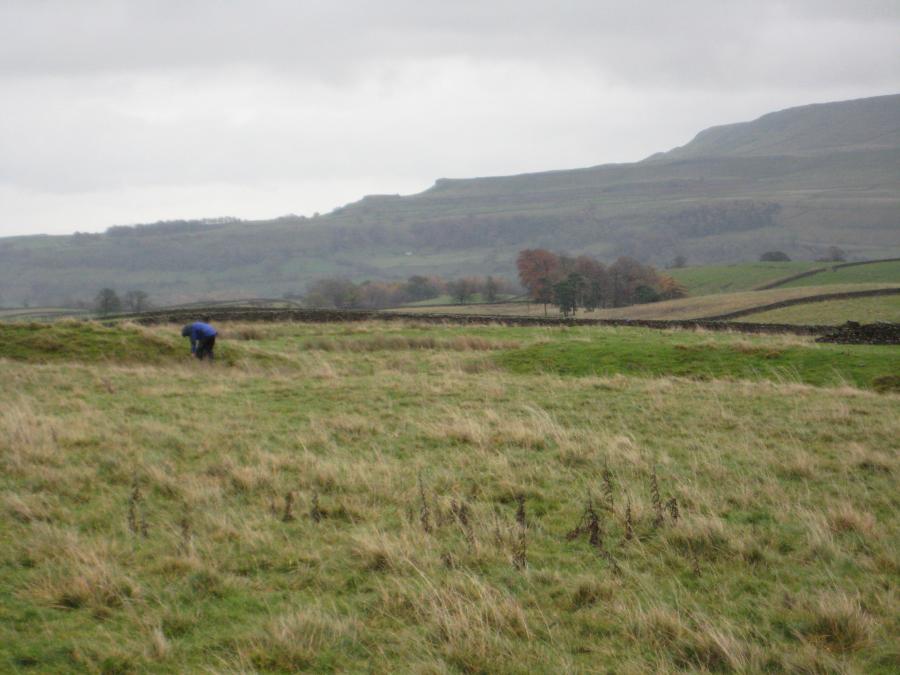 |
| Members of the group walking the outer bank of the henge | PenHill and the east entrance to the henge |
| Click Images to Enlarge | |
 |
 |
| Ditch and bank on Tom Gill | The main glacial meltwater channel runs right to left across the photo. Meltwater also overtopped the valley sides at the lowest points creating the notch in the centre of the photo |
| News Record: 177 Updated: 07-01-2024 12:11:49 | |