 |
Swaledale and Arkengarthdale Archaeology Group | The
Swaledale Project 7000 Years of a Landscape and its People |
The Swaledale Project: Grinton Mounds Activities
 |
 |
 |
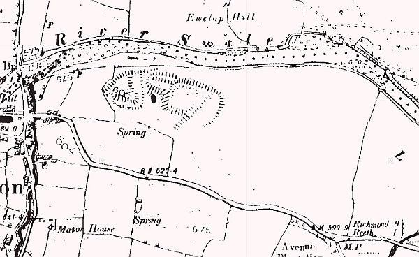
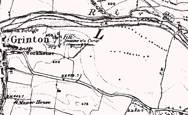 1846-63 OS Map |
 1846-63 OS Map |
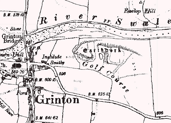 1907-24 OS Map |
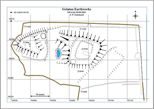
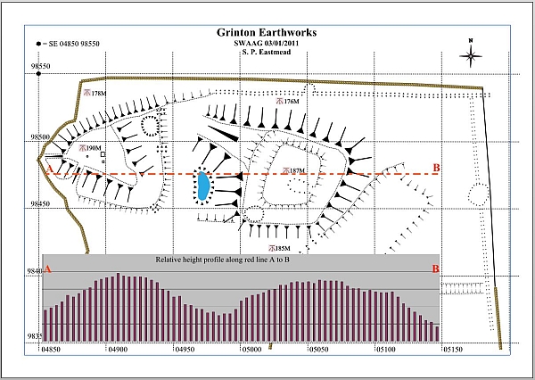
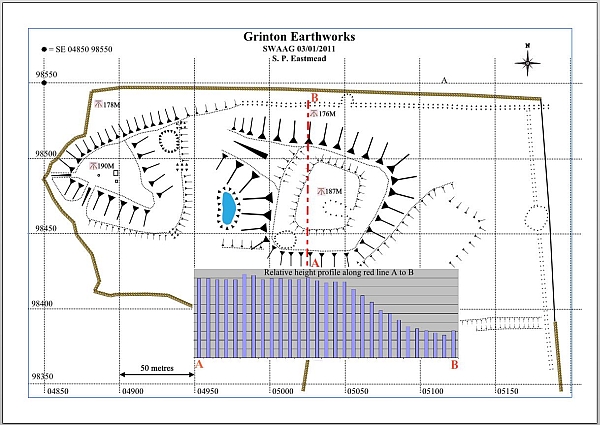
Grinton Mounds Project
What is next:
A geophysical survey using magnetometry. 12/10/11.
Maps to be updated with magnetometry data.
What has been done:
January 2011: Landscape survey see 3 maps, together with 3 historic OS maps.