 |
Swaledale and Arkengarthdale Archaeology Group | The
Swaledale Project 7000 Years of a Landscape and its People |
The Swaledale Project: Cogden Hall Activities
Most recent images will be at the top of this archive.
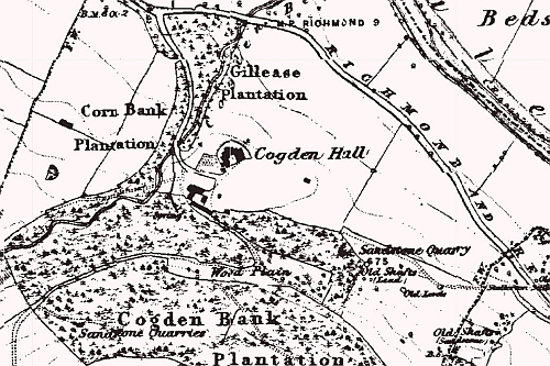 1846-63 |
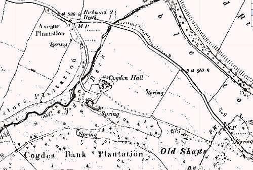 1889-99 |
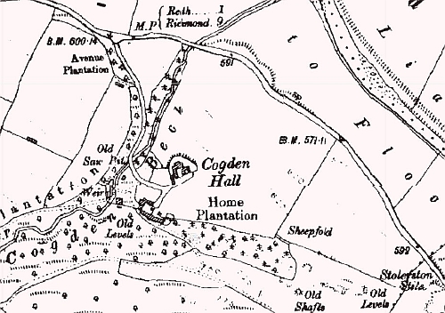 1907-24 |
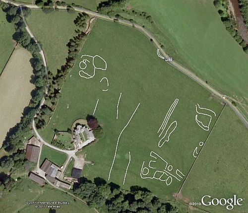 Survey Days 1 and 2 raw GPS data Note the round house platform that clearly extended across the modern road. |
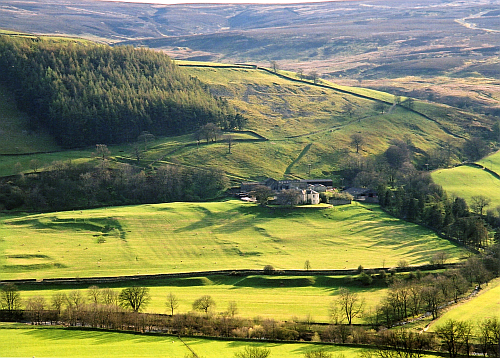 Cogden Hall from near Reels Head 2010. The winter image below is the top left of this image |
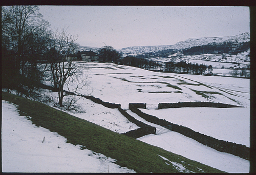 Cogden Hall in the snow showing the earth works in the south east corner |
Cogden Hall Project
What is next:
A 2 day geophysical survey using magnetometry. Dates to be announced in Nov/Dec.
Maps to be drawn.
Check out our current activities.
What has been done:
08/10/11: Old OS map images added.
Survey Days 1 and 2: On 22/9/11 and 06/10/11 SWAAG members completed an initial GPS survey of the major earthworks. See Image. This data will be used in future map generation.
October 2010: SWAAG had a GPS training day when Trevor Pearson from the Yorkshire CBA demonstrated their professional grade surveying equipment. We were also able to compare SWAAG's methodology using 'high end' Garmin hand held units (GPSmap 60CSx). This exercise confirmed the suitability of this grade of GPS to map earthworks down to approximately 4 metres. All SWAAG maps are drawn using this technique. Details are available on this page.