| Viewing swaag.org website implies consent to set cookies on your computer. Full details | Swaledale and
Arkengarthdale Archaeology Group Registered Charitable Incorporated Organisation Number 1155775 |
SWAAG Honorary President:
Tim Laurie F,S,A, |
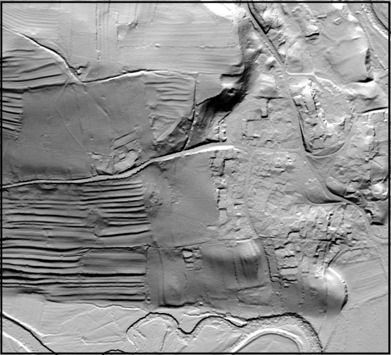
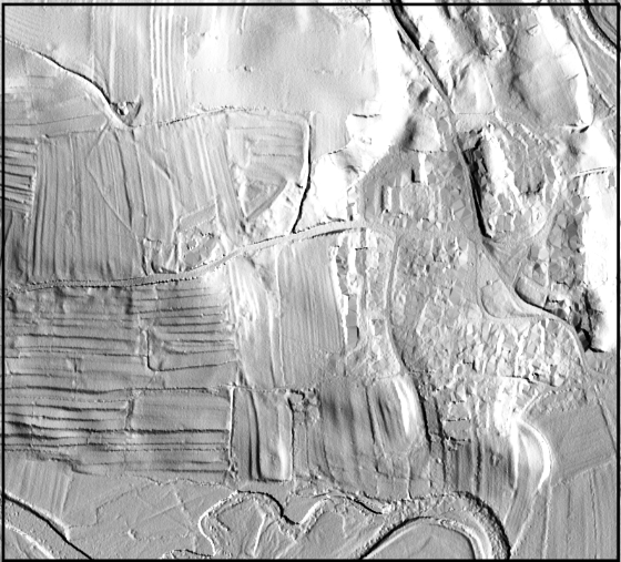
LIDAR Image
Processing using GIS software.
Including using digital maps and incorporating GPS data
Including using digital maps and incorporating GPS data
| Summary: This short article describes how free software and LIDAR images can be processed to show earthwork features at their best by varying the angle a ‘Virtual Sun’ is casting shadows. This process can be performed on a single or multiple merged LIDAR tiles. | ||
| An updated document describing how to process LIDAR in QGIS is available on this link | ||
| The two images below show northerly and easterly illumination. | ||
|
||
| LIDAR images for the grids indicated below are available to download and view just click the map 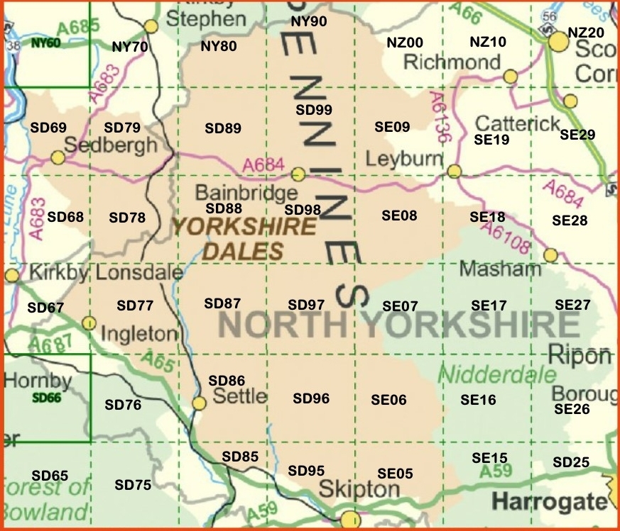 ©Environmental Agency |