|
| *****SWAAG_ID***** | 433 |
| Date Entered | 20/01/2012 |
| Updated on | 29/01/2012 |
| Recorded by | Tim Laurie |
| Category | Geographical Record |
| Record Type | Geomorphology |
| SWAAG Site | Bellerby Moor |
| Site Access | Army Range |
| Record Date | 15/01/2012 |
| Location | Bellerby Moor and Bellerby Deer Park |
| Civil Parish | Bellerby |
| Brit. National Grid | SE 0895 9363 |
| Altitude | 310m |
| Record Name | Bellerby Moor and Bellerby Deer Park. A moorland landscape. |
| Record Description | This is an overview and photo montage of a Pennine Moorland landscape soon to be changed for ever in the cause of National Defence by the construction of a new Small Arms Range.
Bellerby Moor is an area of heather covered morainic hills and green grassy hollows infilled with wind blown loess. Areas of wetland are drained by small streams which rise at highly calcareous ,tufa forming springs located to the south of Black Beck on the interfluve between Swale and Ure. These streams cross the area to be levelled for the two lanes of the new Range to fall towards Park Gill and from thence to disappear into the Main Limestone which forms the Northern Edge of Wensleydale. |
| Additional Notes | The detailed archaeological landscape of Bellerby Moor is currently being mapped by SWAAG Members and each site will be recorded seperately on the SWAAG HER Database. This overview is an informal portrait of the area which has probably been overlooked and rarely visited except by occasional shooting parties and by 'vermin control' or rabbiters. Only recently have the wealth of geological, botanical, archaeological and mining remains been subjects for close record. |
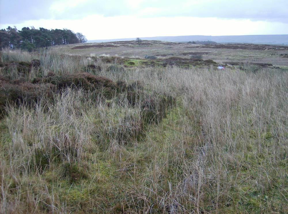
| Image 1 ID | 2106 Click image to enlarge |
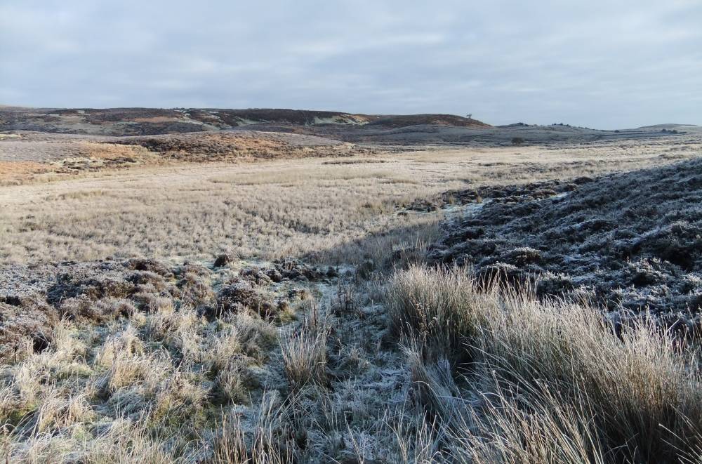
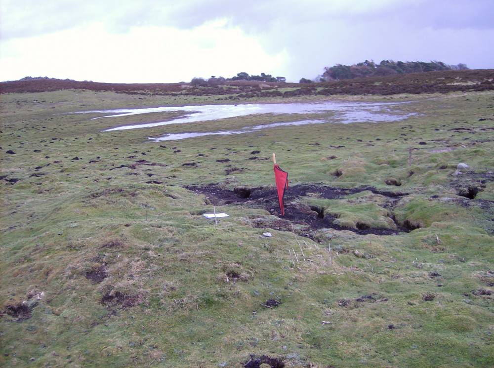
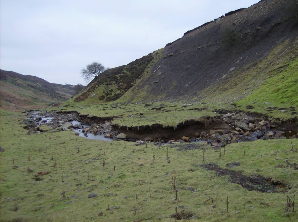
| Image 1 Description | Wetland at northern end of firing range. An island of heather marks the site of a possible burnt mound, to be investigated. | 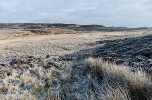 |
| Image 2 ID | 2107 Click image to enlarge |
| Image 2 Description | Wetland at northern end of firing range. An island of heather marks the site of a possible burnt mound, to be investigated | 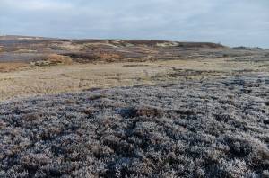 |
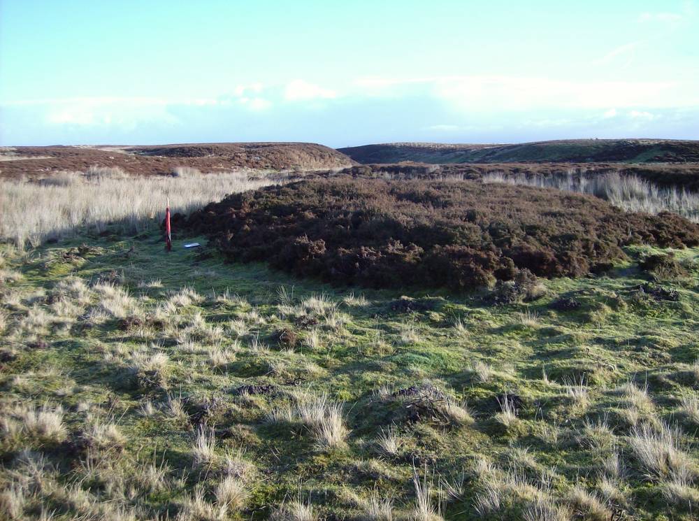
| Image 3 ID | 297 Click image to enlarge |
| Image 3 Description | Burnt mound (see HER129) , view across the line of the new range towards Deerpark Plantation. |  |
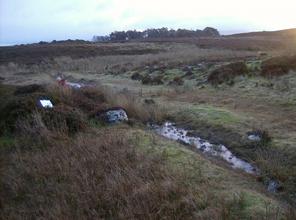
| Image 4 ID | 2114 Click image to enlarge |
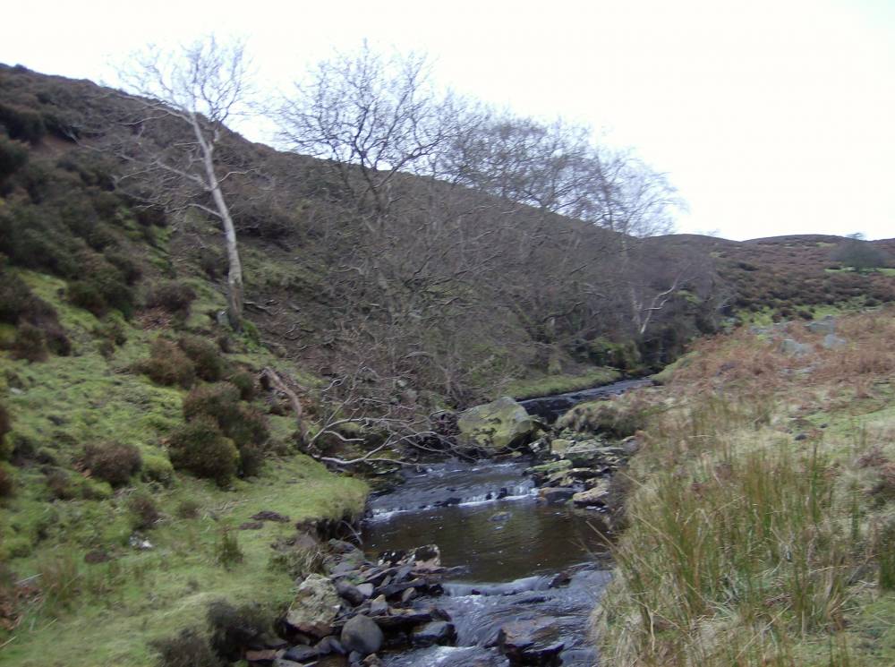
| Image 4 Description | Watercourse at NW Corner of Deerpark Plantation. | 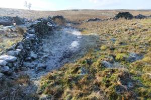 |
| Image 5 ID | 2110 Click image to enlarge |
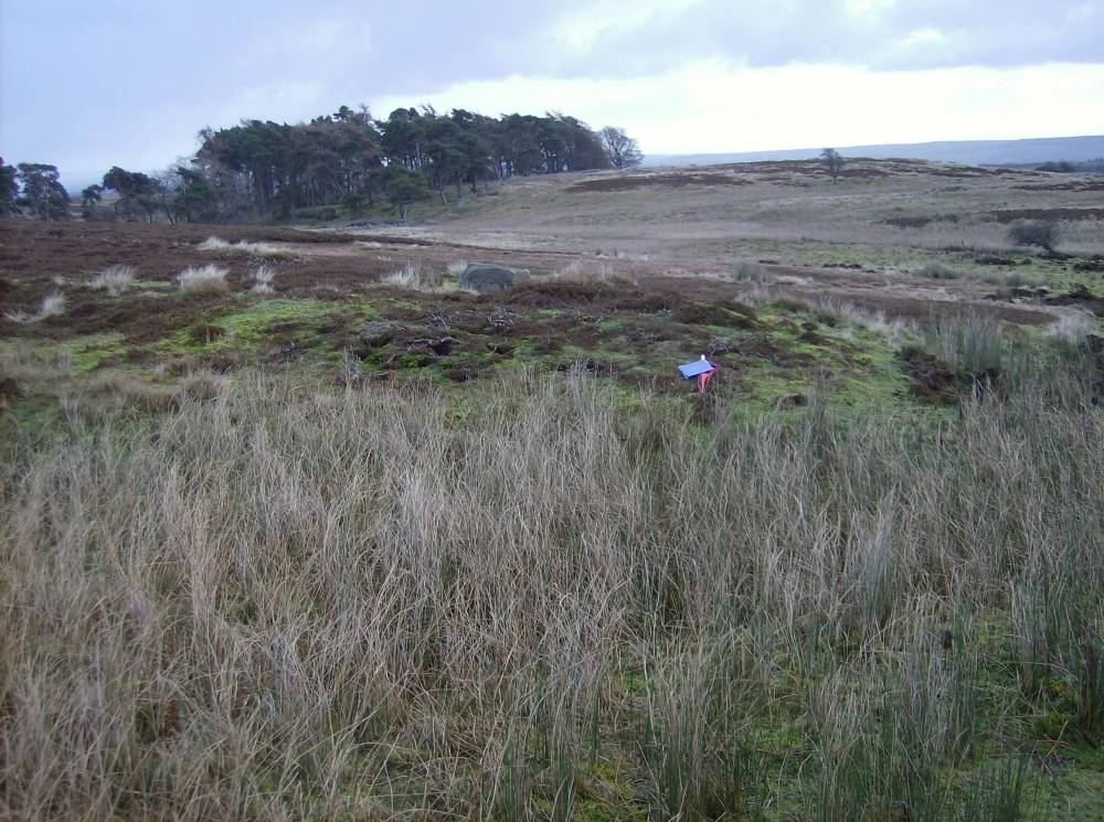
| Image 5 Description | SWAAG field work! Small buried cairn in pasture NW of Plantation. |  |
| Image 6 ID | 2111 Click image to enlarge |
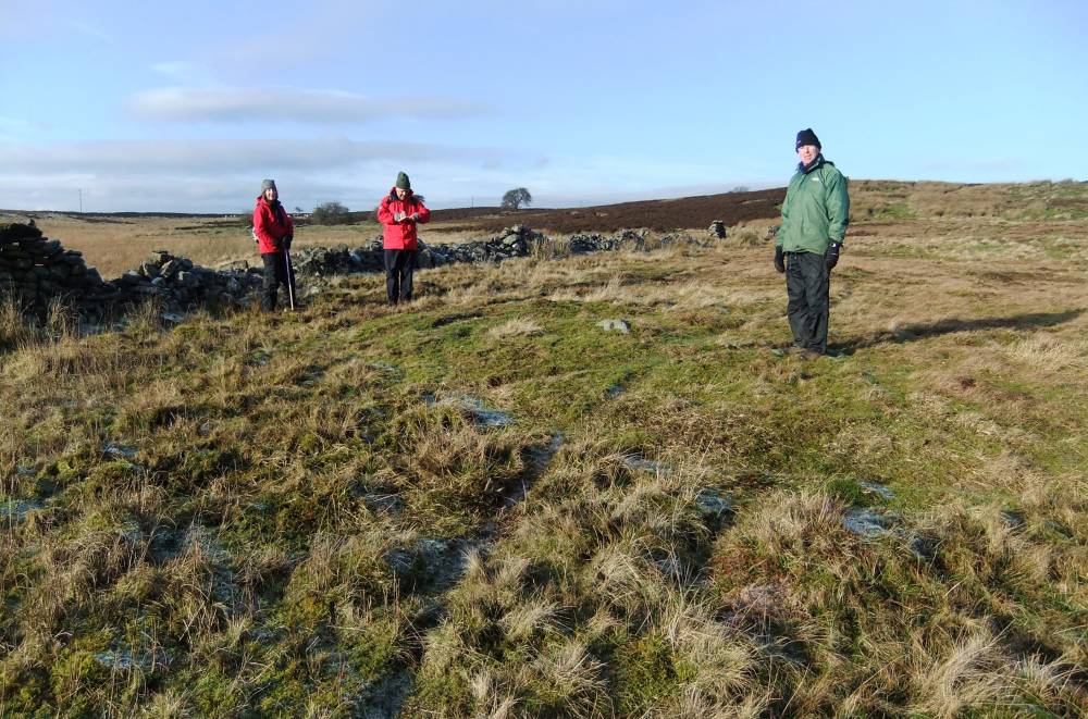
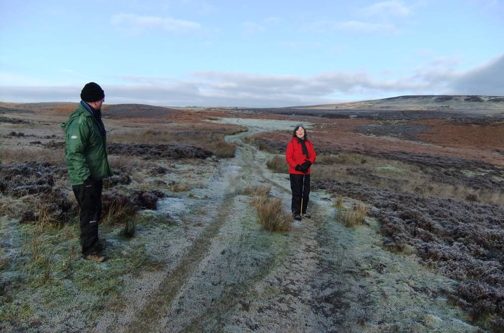
| Image 6 Description | SWAAG Field visit. The drivable track. | 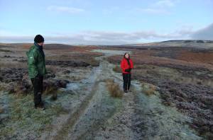 |
| Image 7 ID | 304 Click image to enlarge |
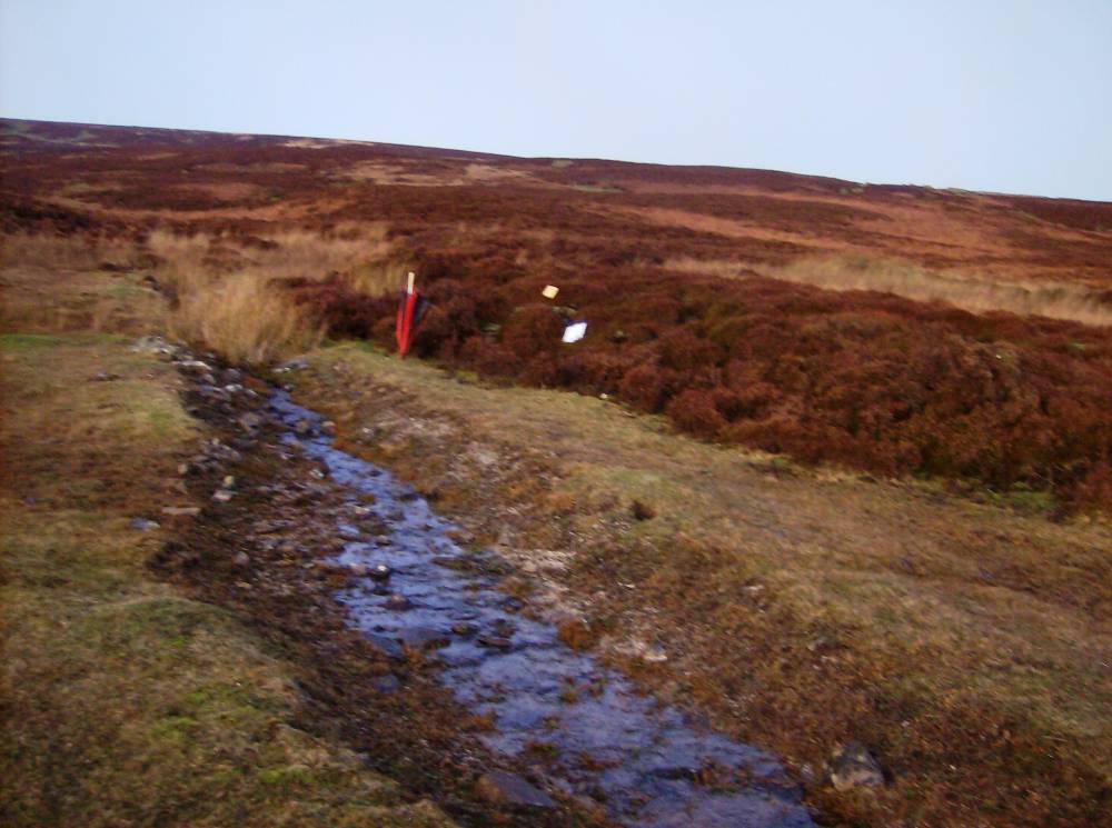
| Image 7 Description | Burnt mound, see HER131, heather covered next watercourse above Park Gill. | 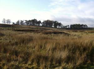 |
| Image 8 ID | 306 Click image to enlarge |
| Image 8 Description | Burnt mound, see HER 131, heather covered next watercourse above Park Gill. | 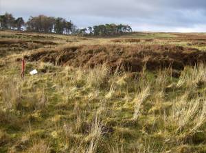 |
| Image 9 ID | 2115 Click image to enlarge |
| Image 9 Description | Burnt mound, see HER133, heather covered next oncolite rich stream 75m below spring rise. |  |
| Image 10 ID | 296 Click image to enlarge |
| Image 10 Description | Oncolites in stream bed |  |
| Image 11 ID | 295 Click image to enlarge |
| Image 11 Description | Burnt mound, see HER 128, with abundant charcoal and burnt stone on rising ground at edge of loess infilled wetland. |  |
| Image 12 ID | 294 Click image to enlarge |
| Image 12 Description | Burnt Mound as HER 128, view towards road. | 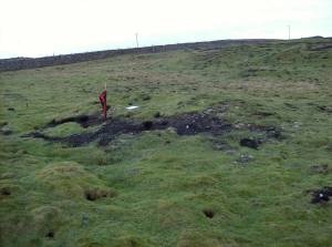 |
| Image 13 ID | 298 Click image to enlarge |
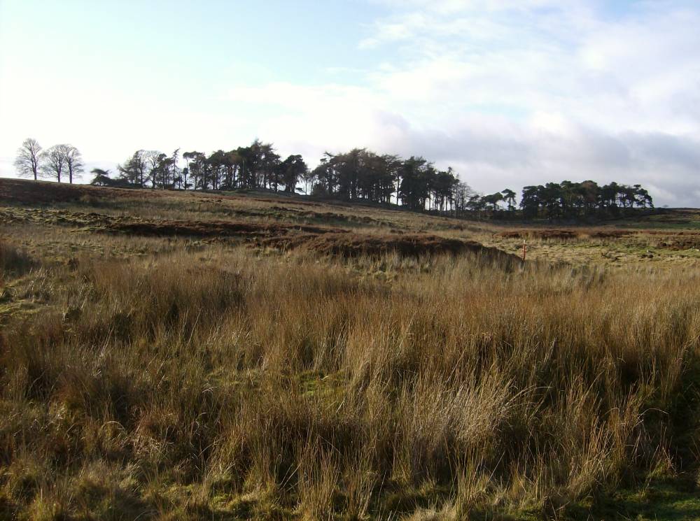
| Image 13 Description | View across the area of the new range towards Deer Park Plantation | 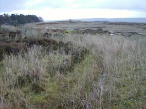 |
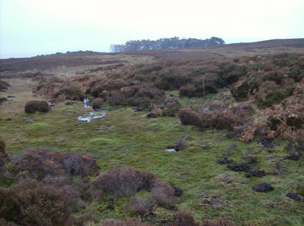
| Image 14 ID | 299 Click image to enlarge |
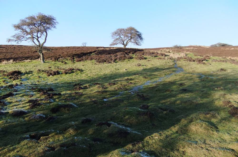
| Image 14 Description | Water course, only visible after heavy rain.Old Hawthorn a survivors of earlier woodland. Continuous heavy grazing prevents regeneration. Not colonising scrub as elsewhwere in lowland Britain. | 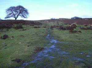 |
| Image 15 ID | 303 Click image to enlarge |
| Image 15 Description | Burnt mound, see HER 131, heather covered next watercourse view to head of Park Gill. | 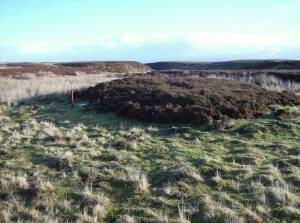 |
| Image 16 ID | 2123 Click image to enlarge |
| Image 16 Description | Burnt mound shrouded below heather at oncolite spring rise. |  |
| Image 17 ID | 307 Click image to enlarge |
| Image 17 Description | Burnt mound shrouded below heather at oncolite spring rise. | 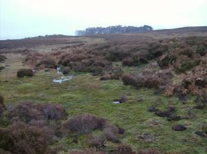 |
| Image 18 ID | 312 Click image to enlarge |
| Image 18 Description | Burnt mound shrouded below heather at oncolite spring rise. | 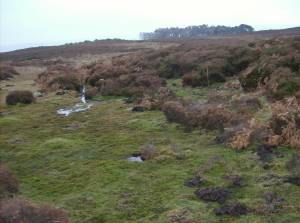 |
| Image 19 ID | 2120 Click image to enlarge |
| Image 19 Description | Black Beck. An ice margin channel resulting in an over large valley for the stream. | 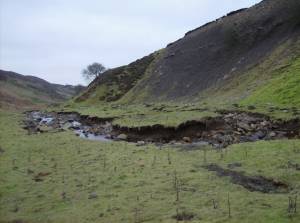 |
| Image 20 ID | 2121 Click image to enlarge |
| Image 20 Description | Black Beck. | 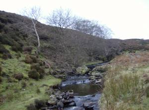 |
| Image 21 ID | 2122 Click image to enlarge |
| Image 21 Description | Black Beck. | 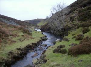 |
| Image 22 ID | 2127 Click image to enlarge |
| Image 22 Description | Characteristic watercourse onl visible after heavy rain. Burnt mound under heather |  |
| Image 23 ID | 2126 Click image to enlarge |
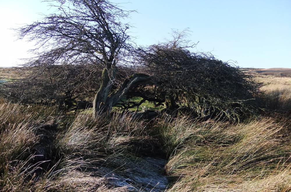
| Image 23 Description | Ancient hawthorn on footprint of Range. Soon to be removed. | 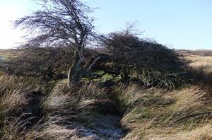 |
| Image 24 ID | 2128 Click image to enlarge |
| Image 24 Description | Ancient Hawthorn. These old trees are impervious to sheep but cannot regenerate and are the sole survivos of woodland | 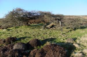 |