|
| *****SWAAG_ID***** | 108 |
| Date Entered | 15/01/2011 |
| Updated on | 25/11/2011 |
| Recorded by | Stephen Eastmead (admin) |
| Category | Mining Related |
| Record Type | Mining |
| Site Access | Public Access Land |
| Record Date | 13/03/2010 |
| Location | Upper Swaledale Mines |
| Civil Parish | Muker |
| Brit. National Grid | |
| Record Name | Upper Swaledale Mines |
| Record Description | Copyright all images: 2010 Chris Twigg.
Please see records 342 and 325 as well. |
| Image 1 ID | 159 Click image to enlarge |
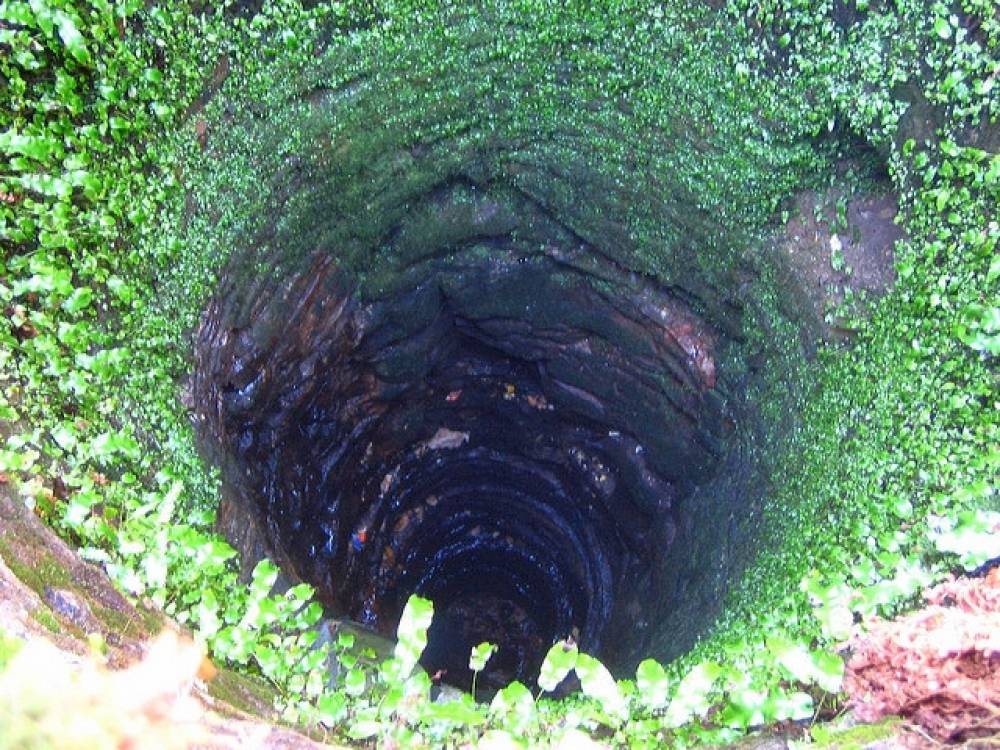
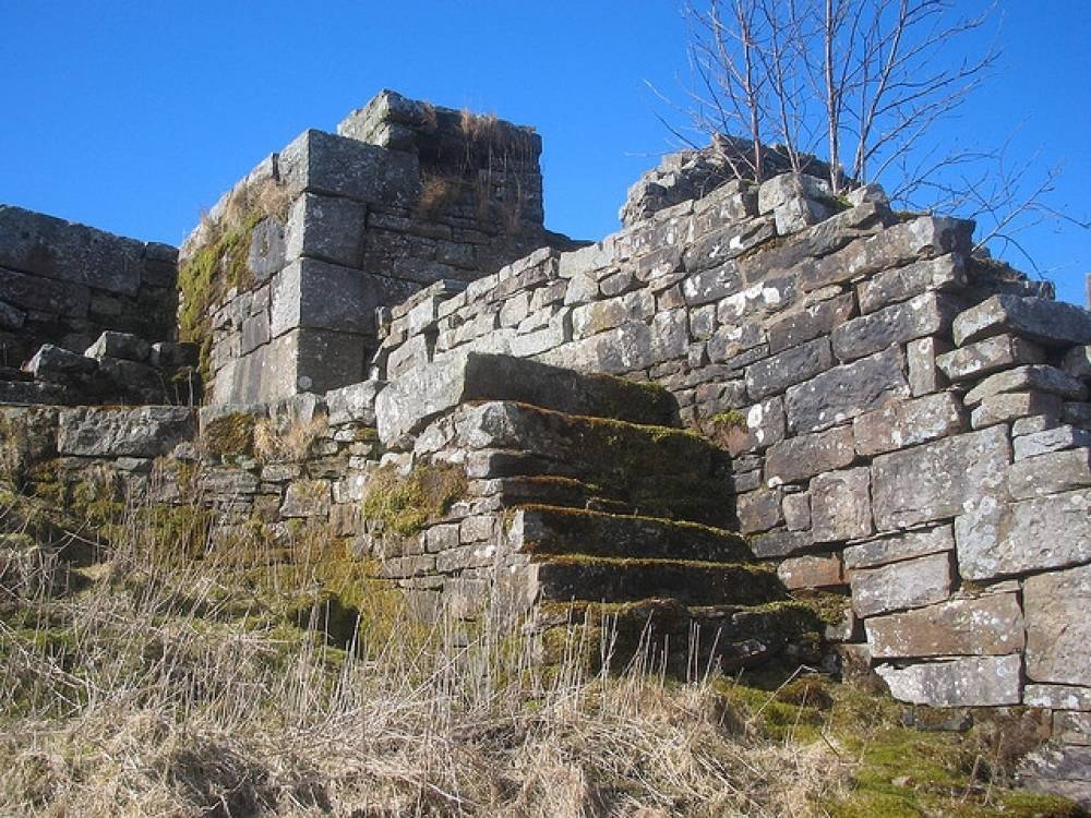
| Image 1 Description | Lane End Mine | 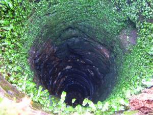 |
| Image 2 ID | 160 Click image to enlarge |
| Image 2 Description | Lane End Mine | 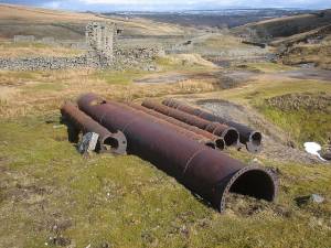 |
| Image 3 ID | 161 Click image to enlarge |
| Image 3 Description | Lane End Mine |  |
| Image 4 ID | 162 Click image to enlarge |
| Image 4 Description | Lane End Mine | 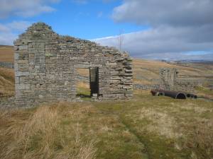 |
| Image 5 ID | 163 Click image to enlarge |
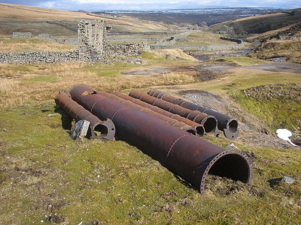
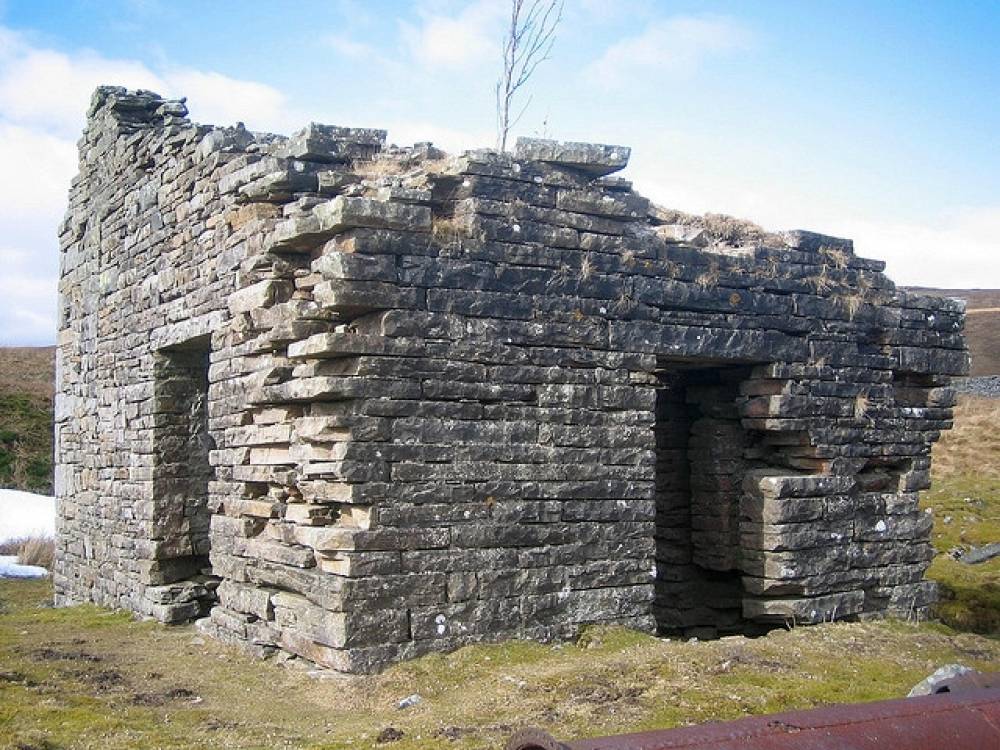
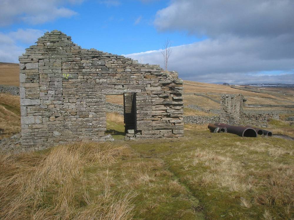
| Image 5 Description | Stonesdale Moor Mine | 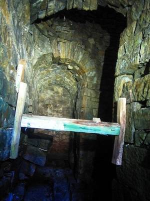 |
| Image 6 ID | 164 Click image to enlarge |
| Image 6 Description | Stonesdale Moor Mine |  |
| Image 7 ID | 165 Click image to enlarge |
| Image 7 Description | Stonesdale Moor Mine | 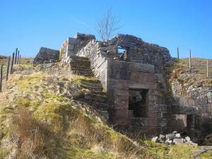 |