| Early Medieval Lindisfarne |
Dr David Petts, Associate Professor of Archaeology at Durham University, has been digging on Lindisfarne for many years. His talk began by outlining the early medieval history of the island, as well as describing how its geography would have been different from today’s.
Most recent archaeological excavations, apart from those undertaken prior to building work, have occurred around outskirts of the present village. As well as finding stone buildings, walls, ditches and evidence of industrial activity, the excavations have frequently unearthed skeletons. Some were clearly secular burials, and the cemetery sites were frequently re-used, resulting in confusing juxtaposing of the skeletons. Isotopic and DNA analysis will throw more light on who these people were. A possible shrine tomb and an adjoining chest burial suggest high-status individuals were also buried on Lindisfarne. Twenty-three runic name stones have also been unearthed.
Some of the more unusual artefacts recovered include a beautiful gaming piece and a bone comb with runes inscribed. Many animal bones, fish bones and shells have also been recovered providing evidence of the diets of the early medieval population.
The discoveries – and particularly those of elaborate stone carvings – are beginning to challenge the long-held view that there was a mass exodus of the monks from Lindisfarne in the 10th century. The excavations will continue for another two summers.
J.H. |
|
|
|
|
| Click an image to enlarge in a new tab |
| |
|
|
|
|
| News Record: 182 Updated: 25-03-2024 09:51:47 |
|
|
| Botanical remains at Healaugh |
Marijke Van der Veen, Emeritus Professor at Leicester University, was our speaker in February. She has published a paper on the excavations undertaken by Tim Laurie and Andrew Fleming on the house platforms at Healaugh, in Swaledale (1988-1990). As an archaeobotanist she focusses on macrofossils, such as seeds, grains, and chaff, which can be used to discover more about agriculture in the past, for example, the transition to farming, crops, diet, animal fodder, and trade. Healaugh provided only 17 sediment samples, but the botanical remains still provide a valuable insight into farming and the natural environment in the late Iron Age and early to mid-Roman period. The full paper can be downloaded from the SWAAG website under publications.
Marijke also placed the site in its context. The Romans were responsible for introducing large numbers of new food crops to Britain. Some, such as carrots, plums, and walnuts, thrived in the climate and continued to be grown after the Romans left, whilst the cultivation of others, such as olives, grapes, and fennel, declined. The relative proportions of spelt wheat and bread wheat grown also changed over time as did their geographical distribution.
In this country fruits, vegetable, herbs, and nuts survive best in waterlogged conditions, whilst cereals and pulses survive best when charred. Waterlogged conditions occur mostly on military and urban archaeological sites, which is also where more remains of the newer crops are found. There are fewer excavated rural sites, and this applies particularly in the north where military sites tend to predominate in the middle to late Roman period. The site at Healaugh provides another small piece in the overall picture.
J.H. |
|
|
|
|
| Click an image to enlarge in a new tab |
| |
|
|
|
|
| News Record: 181 Updated: 06-03-2024 15:26:47 |
|
|
| Maiden Castle and other Scheduled Monuments |
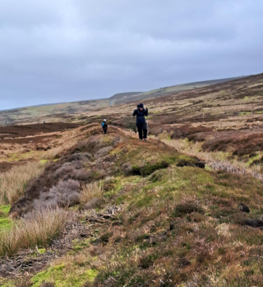
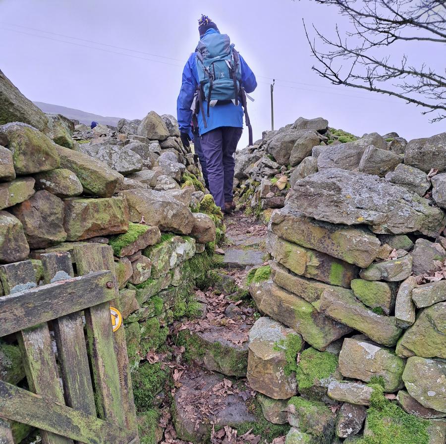
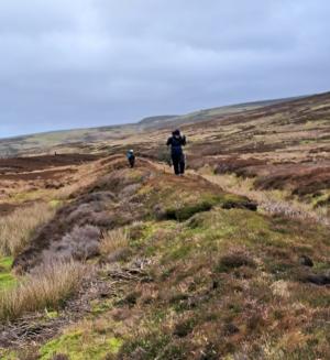
The early February weather was kind to our party of twelve on our walk around Harkerside.
We set off from Grinton passing a funerary barrow (SM 1012599) close to Swale Hall, crossed the Fremington dykes (SM 1004043,4) and discussed their attributes as defensive structures, boundary markers and enclosures. Perhaps they have been all of these things.
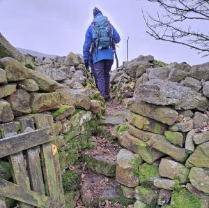
We pondered over the significance of a large mound of stones at a stile below Bleak House and some earthworks just to the west of it.
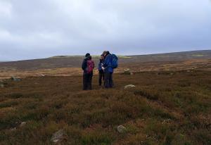
Then onwards and upwards, sheltering from the wind in the ditch of Maiden Castle (SM 1012609) to eat our lunch, share information from a 2011 geophysical survey of the place and from Will Swales research on the excavation of the large mound to the east of the “castle” by Rev Canon Greenwell who, on a summer’s day in 1867, had “a very effective staff of miners” at his disposal. However, “not a single bone or fragment of man’s work was found”.
Upwards again to another barrow, west of the castle earthworks, and then turning east towards Harker mires.
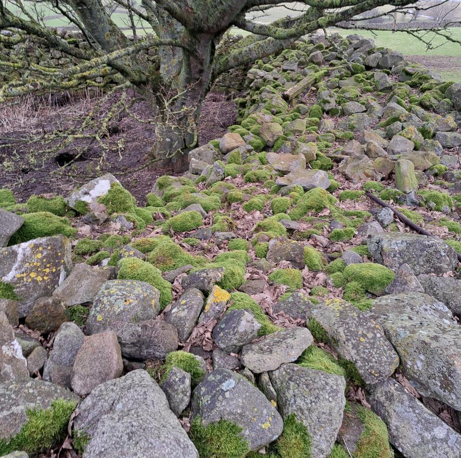
Five of us continued to the cairn field (SWAAG HER 150) and the feature marked as a hut circle on the Ordnance survey map but described by Tim Laurie as an embanked stone circle in a Bronze Age settlement landscape and listed as such as a Scheduled Monument In 2005 (SM 1012612). Nearby there are numerous cairns, stone features and a linear ditch and rampart (SM 1012617) which merges at its east end with the steep west bank to Grinton beck. We finished our walk downhill to Grinton just before wind and rain set in. |
 |
 |
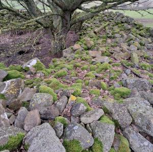
| Linear ditch and rampart - Harker MIre |
Footpath / style crossing large semi circular stone feature at Bleak House |
| Click an image to enlarge in a new tab |
| |
 |
 |
| Hut circle or embaned stone circle ? Harker Mire |
Large semi circular stone feature at Bleak House |
| News Record: 180 Updated: 26-02-2024 14:43:06 |
|
|
|
|
|
|